
Today's Trailblazer hike was to Raptor Ridge, the first time I'd hiked this with the trailblazers was with Group 1, in May 2011. You can read about that day's hike HERE.
20 of us "group 2" hikers set out from north Chuckanut trail head on a trail surrounded by a sea of large ferns.
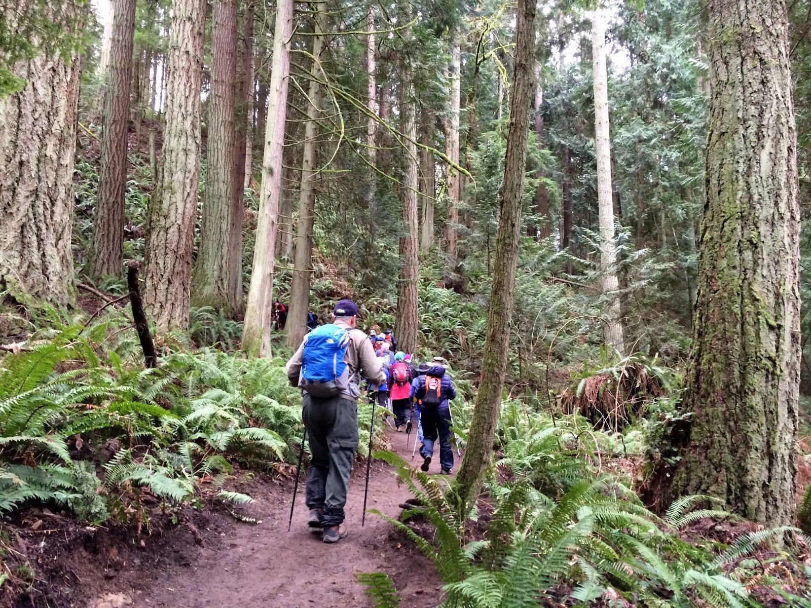
After we'd hike just over a mile we came to a junction with a signpost. We would be hiking on the Hemlock trail up to Raptor ridge. The next section of trail is a pretty good incline as you'll see in my endomondo stats at the end of this post.

Another signpost letting us know that we were .4 miles away from Raptor ridge.

While we were waiting for everyone to get to the fork in the trail, a few brave souls agreed to be photographed on the bridge for me. From the left: Joe, Con, Cindy and Frank. It was good to have Con with us, he joins us every once in a blue moon.

Joe and Ed decided they would do some trail work today. In the above photo you can see a small tree down near the left side of the bridge, it was blocking the trail abit. It was easy enough to step over, but they brought out 2 hand saws and had it cut and moved in a short period of time.


Then on to my favorite section of the trail. The trail meanders through a series of large rocks. I found a website that describes a geology hike of the area, you can read that info. HERE.


Finally the Raptor ridge view point sign.

This was the view we enjoyed from the narrow rock top, while we ate our lunch.

Then it was off to hike again following the Hemlock trail.

Here are a few pictures of some things I enjoyed as we hiked along today. I believe these are called "Turkey tail".


I learned that this is called "rag bag".

We found a few curiosities in the forest.


We never really had an all out rain on our hike today, but if you look at the surface of the pond in the photo below you can see some raindrops were falling.

20 began the hike and 20 finished, I call that a good day for us Senior Trailblazers!
Endomondo stats:
total miles hiked - 7.7 miles
minimum altitude - 88 feet
maximum altitude - 1651 feet
total ascent - 1698 feet
total descent - 1669 feet

No comments:
Post a Comment
Thank you for taking the time to read my blog, I welcome your comments.