
Today's hike took us out of Whatcom county and down to Fidalgo Island in Skagit county. Our plan was to hike 8 to 10 miles in the Whistle Lake trail system. "The Anacortes Community Forest Lands covers 2800 acres and has miles of trails." (WTA quote).

The trails are all really well numbered and are easy to follow with a trail map. Trail maps are available at the Anacortes Chamber of Commerce
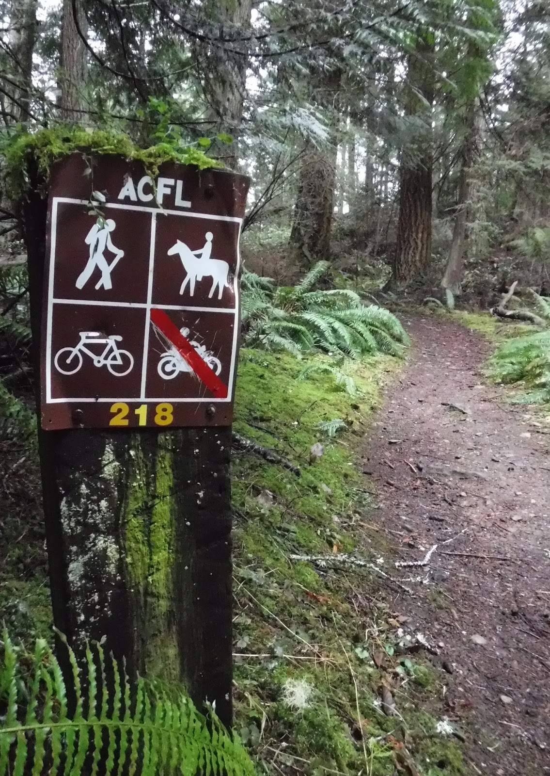
Heading out on our first numbered trail of the day.
Checking out his map to make sure we're taking the right turn.

Our first good viewing spot.

Looking east towards hwy 20 and the intersection that connects to the route going to Whidbey Island.

We heard a loud tapping and saw a Woodpecker busily creating a hole in the tree.
Can you spot him?

We saw some great Turkey tails, mushrooms and a conk moss shelf on a tree.


Here's a video I took of a lovely creek and bridge (made in the year 2013) that we crossed. We crossed several small foot bridges across creeks, some had the year they were built carved into them.
When we came to Whistle lake our minds went back to a time years ago when we had picnicked there and my husband saved a young teenager from drowning. You can read about that memory HERE. You can barely see Whistle lake through the trees at this junction of the trail.

Whistle lake.

A ways down the trail from Whistle lake we passed this scenic pond.

After we'd hiked uphill for a ways we came to this nice wood trail sign made as an Eagle scout project.

Still a bit of snow here and there.

More small bridges.

Old trail signs.

On to Sugarloaf mtn. for lunch.

Just a short hike around this part of Sugarloaf mtn. and then we could stop on the top.

There was a cold wind blowing by the time we got to the top, so after I took my view pics we settled in to a sheltered spot behind a large rock to enjoy our meal.
The photo below is looking to my far left and the view of the La Conner area.

Looking directly to my left is Mount Erie.

Looking down our view is Lake Erie,

and then out to the right - the San Juan Islands and even farther to the left in the photo below is the Olympic peninsula. We could just make out the snow covered Olympic mountains in the distance. Pretty good views for such an overcast day.

Time to get moving, I was COLD!!
We warmed right up once we got off of Sugarloaf and began winding our way back down the trail and into the forest.
Another bridge with the year carved into it.

If you ever get a chance to hike in the Anacortes Community forest, I hope you enjoy it as much as we did today. I'm grateful we live so close to such a beautiful area to hike in.
We didn't have any rain at all until we were in our car and heading back home towards Bellingham.
Drier weather: one of the bonuses of hiking in the Anacortes/Whidbey Island area.
Shhh...don't let the world know 😉.
Garmin stats:
total miles hiked - 8.10 miles
total ascent - 1791 feet
total descent - 1785 feet
No comments:
Post a Comment
Thank you for taking the time to read my blog, I welcome your comments.