
We started today's hike at checkpoint India, I know, sounds exotic doesn't it. We weren't on a vacation to the Orient, we were just parked at a local trail head off of Chuckanut drive. Checkpoint India is the emergency station located at the Larrabee State park - Lost Lake trail head parking lot.
What a day it was for our hike.
What a day it was for our hike.

Our plan today was to hike the old logging road up to Burnout point and continue along our way till we made a large loop. The junction to Burnout is about a mile up the road from the parking lot.

This was the view looking to the west, at the first viewpoint along our journey up the road. We could just see the Olympic mountain range in the distance with the low clouds.

We stopped at the first view area in the Burnout area. There were small spots of snow here and there in the shady areas. I took a few photos of the view looking out at various directions.
 |
| Looking west towards the Olympic Peninsula |
 |
| Looking towards the San Juan Islands |
 |
| Looking south towards Skagit Valley |
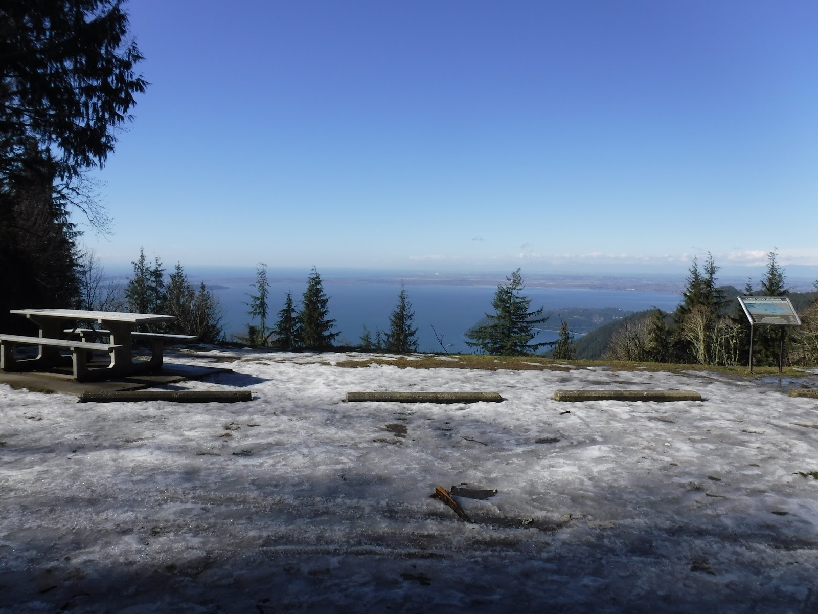
We hiked up to the highest section of the road to checkout the view that overlooks Lake Samish before we ate our lunch. You can see our lunch destination in the photo below.

As we were hiking up the road to the Burnout area, we had hiked through the burned area from last summer's fire. The trees in the area are marked for cleanup. We visited with some workers at the top, they filled us in on what will be happening to the area that was burned.
We had a nice view of Lake Samish and Mount Baker in the distance from the higher section of the road.
We had a nice view of Lake Samish and Mount Baker in the distance from the higher section of the road.

Finally lunch.
This area is very special to me. This is where I celebrated my 60th birthday. You can read my post about that day HERE.
This area is very special to me. This is where I celebrated my 60th birthday. You can read my post about that day HERE.

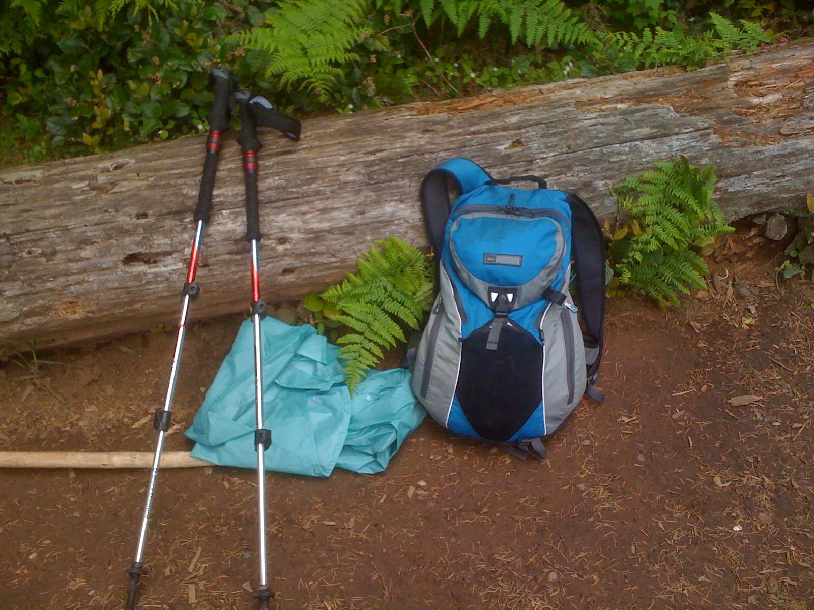
See my new pack leaning against the log?? Thanks to my REI dividend and a $20 gift card, I now hike with my new Osprey Sirrus pack.

I've been using one that my husband loaned me when I started hiking with the Trailblazers back in 2011. I took this photo of it at the Fragrance lake trail overlook on a hike with the Trailblazers on June 2, 2011. After 7 years of faithful service I have returned it to my husband.
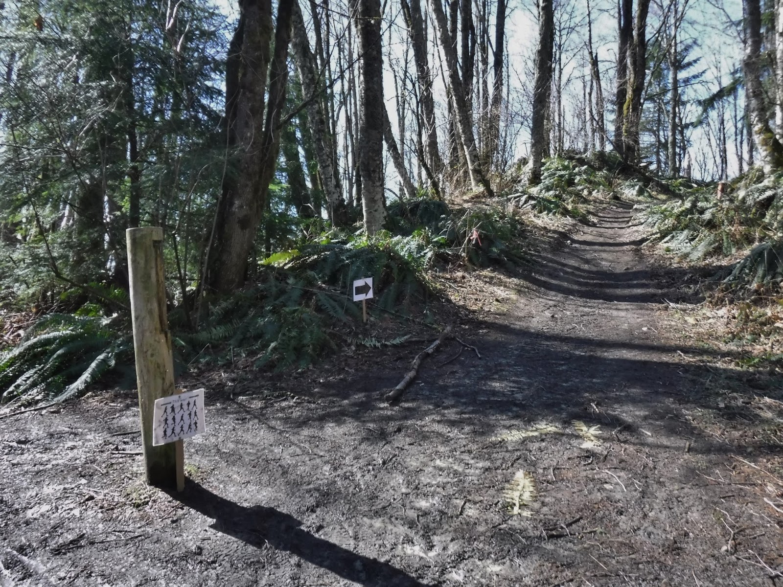
After lunch we made our way to the Rock trail. The Chuckanut 50k is this coming weekend and we passed their trail signs all along our way.
 |
| My husband making his way to the Rock trail. |
After climbing the stairs on the Rock trail we came up to the Gates Overlook parking lot. The road was closed, so there were no cars. We were surprised by a layer of snow at the lot.
We walked down the road till we got to the Fragrance lake trail. When we got to the lake we followed the trail that goes around the lake. In the Fragrance lake reflection photo below I found it interesting that the sky and the water are such different shades of blue.

We then hiked down the Fragrance lake trail to the overlook. Remember the photo above where I shared my old pack. This is the same place. The sun was very brilliant when we got there. It was difficult to get a photo with so much glare, but here it is.

Such a good day on the trail today. There was just the touch of a chilly north wind off and on throughout the day, but the sun was out, the birds were singing, the frogs were croaking and the sky was blue: perfect!
Garmin Stats:
Total miles hiked - 12.14 miles
Total ascent - 2687 feet
Total miles hiked - 12.14 miles
Total ascent - 2687 feet
No comments:
Post a Comment
Thank you for taking the time to read my blog, I welcome your comments.