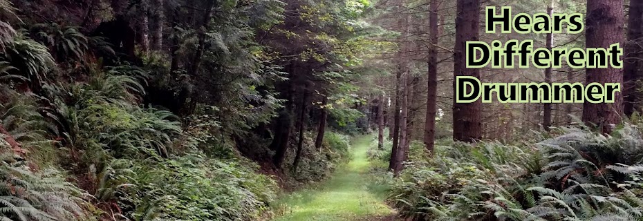
The destination for today's hike was Ridley creek,
I thought I hadn't been on this trail before but my husband reminded me I had hiked it many moons ago. We had backpacked to the Mazama Park horse camp and spent the night at the meadow.
Today 12 of us Trailblazers carpooled up the Mt. Baker hwy, the Mosquito Lake road and then about 12 miles on FS road 38 to the trail head.
Interesting sign to read at the beginning of the hike.
| Click to enlarge to better read the signs |
I found this link to a blog about the geology of the trail area.
You can read the post HERE .
I understand that this bridge crossing had been damaged in a rain we had a couple of days ago and was just repaired and replaced yesterday, perfect timing for our hike.
You can read the post HERE .
I understand that this bridge crossing had been damaged in a rain we had a couple of days ago and was just repaired and replaced yesterday, perfect timing for our hike.
The forest was very lush with lots of mosses, ferns, conks & blueberries. It was a magically beautiful place to spend the day.
Entering Mt. Baker Wilderness area
There were many mother logs in this forest, but this one I really liked.
This bridge was a little precarious for some in our group as it had no hand rail, but there was no water below at this time either, so it was an easy bridge to bypass.
I enjoyed crossing it.
By the time we'd gone just a little over 3 miles and had been steadily going up we were all wanting to stop and eat our lunches. There was no view point or even a great place to sit, so we just plopped down along the trail and tried to find a good log or rock to sit on.
Our fearless leader "Pat" was hoping to get us up to the opening of the Mazama meadow before heading down, but we only walked a short distance more after lunch before heading back. we all agreed it had been a beautiful forest hike with a few peeks at the Twin Sisters and Park Butte.
Our fearless leader Pat keeps track of our stops, starts, turns etc. on each of our hikes.
| Click to view the Twin Sisters a bit better |
Even though they were viewed through the trees and at a great distance away, we didn't feel too cheated at not getting any higher today.
| click to enlarge to get a clearer view of Park Butte |
There were a few clouds in the sky that obscured a view from us when we began our hike today, but as we crossed the Middle Fork river foot bridge on our return the sky had opened and we got a magnificent view of the Black Buttes and the Deming Glacier.
Most excellent!
| click to enlarge to get a clearer view of the Black Buttes and Deming glacier |
Ridley Creek trail is a part of the historic Bellingham to Baker Marathon route. You can read about the historic race and of Daniel Probst's dreams to revive this race HERE.
Endomondo stats:
Total miles hiked - 7.17 miles
Minimum altitude - 2409 feet
Maximum altitude - 4354 feet
Total ascent - 2303 feet
Total descent - 2073 feet


No comments:
Post a Comment
Thank you for taking the time to read my blog, I welcome your comments.