We have had cold, Northeast winds and snow on the ground for nearly the whole month. It was nice to wake up this morning to just a slight breeze. We had a small dusting of snow on the ground overnight, but the sun was shining and the sky was blue so on this last day of February we headed over to Gooseberry point to do a "walk on" of the Lummi Island ferry.

The last time my husband and I had walked around the Island was March 30, 2017, you can read about that day's trek of 13 miles HERE.
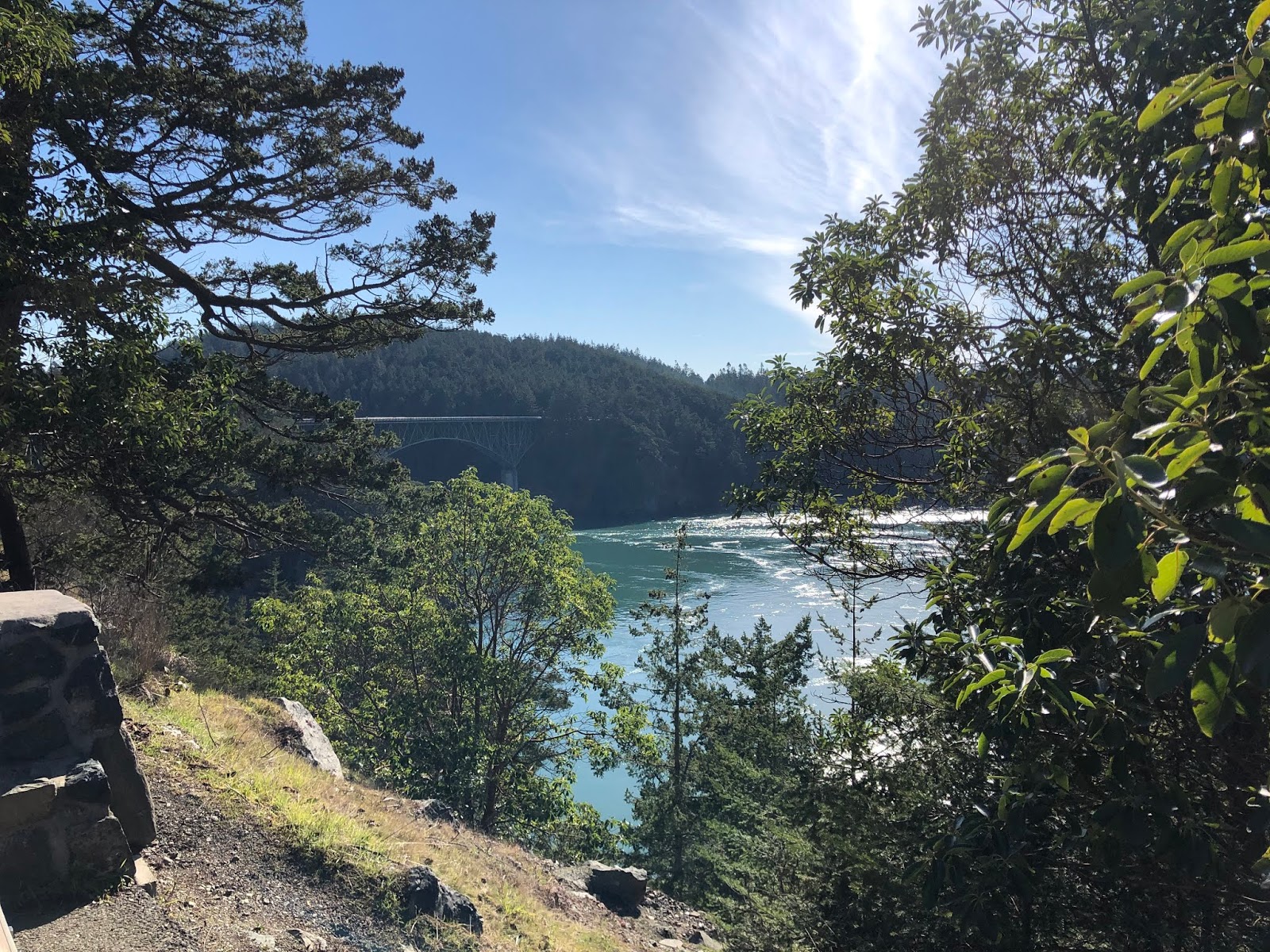
Every time I've walked or biked around the Island it's been in a counterclockwise route. Today we went clockwise. From the Ferry dock we took a turn on a road that crossed the Island, so we were really going around the northern end of the Island, not the whole thing. We made our way to Legoe Bay.
 |
| Looking towards Lummi Rocks |
 |
| Looking towards Orcas Island |
This area is interesting as it has the rails from where the reef net boats are?were? rolled from their "off season" lots to the beach across the road. I don't know if these are still being used.

How many miles away is Grand Cayman??

We stopped and had a snack at this quiet area of the Island and enjoyed the sun and the view.

After crossing the Island we headed north to the Public beach for lunch.

There was a slight breeze blowing that kept the air a bit chilly even though it looks nice and warm. If you enlarge the photo below, you'll see a log halfway up the beach. We laid our blanket behind the log for a wind break, that really helped make our lunch stop more enjoyable.

 |
| Our lunch view |
We passed a cute mailbox as we continued to make our way around the north end of the Island.

 |
| Complete with a deck! |
We decided to visit Curry Preserve and hike on it's trails, since we were passing by.


The pond was still frozen.

We hiked out and back on one of the trails and then we came back out to the big field and headed towards Centerview road. As you can see there was still a bit of snow up in this shady part of the preserve. It was frozen and a bit slick, thankfully this was the only snow encountered here.


The trail opened up to a nice sunny field. The rose hips were plentiful on the bushes.

Then on to Centerview road and another fun mailbox. The red mail flag is behind the tail!

At the corner, we met the Island perimeter road again and a cute little man on a bridge.

This corner is also where the Lummi Island Beach school is located.

And just like that our day on the Island was over, there's the ferry dock again.

It was quiet on the Island today, we saw few cars or bikes but the people we did see gave us a wave and a warm smile. Just what our souls needed today.
Thank you Lummi Island❤
The Relive video of our route:
Garmin stats:
total miles hiked - 7.93
total ascent - 699 feet
total descent - 692 feet