 |
| Along a field near the Nooksack River |

Sunday, September 28, 2014
Tuesday, September 23, 2014
Taking a moment.....
Hmmm, what does this taking a moment mean to me?
To me it means to slow down, take life a bit easier. Stop and savor the things around me that I hold dear, as they say to "stop and smell the roses".
I've been pretty regular with the Thursday Trailblazer hikes, but took a break from last week's hike and I will take a break from this week's as well. My legs seem to be on the tired side and my old calf injury seems a bit aggravated. So I'm taking a moment to decompress a bit. Just going for walks and enjoying life at a little slower pace.
This decision has helped me to embrace the Fall season that is now upon us. I'm loving the new Oprah's Chai Tea latte at Starbucks and my homemade harvest soup.

(Almost all of the ingredients were harvested from our own garden.)
My husband is channeling his inner Ciscoe Morris, and creating some nice bouquets from our yard, to put around the house.


I think the best thing about what this season brings upon my spirit,
is to remember to take a moment.....
Saturday, September 20, 2014

Monday, September 15, 2014
Goat Mtn. attempt
I've never hiked Goat mtn.. before and since I've been doing quite a bit of hiking lately I felt I was ready to check this one off of my bucket list. The WTA website says that this is an 11 mile hike, so I knew the distance alone would be a challenge for me.
My husband and I set off yesterday at about 9am and 37 degrees, brrrr. It would get into the 80's before we were done hiking. An interesting side note that kept in our conversation throughout the day was, "why did the sign at the trail head say the trail to Goat mtn. was only 3.2 miles up"? It didn't really say where the 3.2 went to, it implied that it was to the top. Crazy, wrong information. They really need to remove that sign and put up something more accurate and informative about what people will have in front of them. My endomondo gps tracker put 3.2 still in the forest, not even to the meadow yet.

Oh well, on to our hike. I was prepared for long and up and it lived up to my expectations.
 |
| my husband in the meadow area |
We couldn't have asked for a better day, not a cloud in the sky to obscure our views.
We didn't stop at the meadow as we still needed to go up,
hopefully to the top of this -

I asked my husband to stop and take a couple of photos of me in this glorious spot. The views were spectacular.
 |
| Goat mountain behind me |
 |
| Shuksan behind me |
I took the picture below, because it shows the Ruth creek valley where we hiked to Hannegan pass on our Thursday Trailblazer hike

The views at this point were simply amazing, but we still had an uphill to do.

up to this point the trail was in good shape and we were really enjoying our hike. in the above photo my husband is just about to take a left hand turn in the meadow to begin what we thought were long switch backs to a steeper step up to the top. My husband had done this hike a couple of times before and had been telling me what I would encounter as we made out way up.
I stopped for a moment to capture this photo of Mt. Baker across the way -

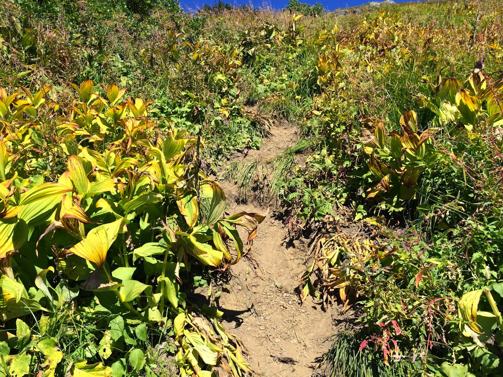
We saw a place where it seemed people had been trying to shortcut the trail, so ignored that and marched on and then the trail just disappeared. We then saw a similar shortcut looking area and decided that must be where we needed to go.
"UP"

We went up this and then saw that it connected to the trail. The early switchback area that was there the last time my husband hiked this trail was no longer there. This time the switchbacks began again after the scramble up area. The trail from this point really deteriorated. The trail was very narrow and exposed with lots of scree to make it feel very sketchy to me. We were walking on a trail that in places was only as wide as one boot and that footing was sideways. We could see the trail beyond us and realized that we still had a long ways of extreme "up" ahead of us, and not knowing if the trail was any better ahead we made the decision to turn around. We just weren't comfortable with the condition of the trail. We went back and realized that the trail was really the first scramble that we assumed was a shortcut, so we headed down that one.
Time to head down.


On the way down three topics were deeply discussed.
1. Next year we will try again (with a rope, for the sketchy spots).
2. The WTA could do us all a service and put some nice long (2 boot width) sweeping switchbacks up the scramble section where the trail has eroded away, instead of the straight up deteriorated situation it is now. I'm not against going "up", but an improved hiking trail would be appreciated. Also if I could have all of my wishes come true I'd like these long sweeping switchbacks to go all the way to the top ;-) The WTA Goat mtn. info. even states - "The trail continues along the spine of a ridge, officially terminating at 5600 feet at the base of expansive meadows high on Goat's south-facing slopes. From here follow a rough but well-defined route, first across, then straight up those flower-studded-steep slopes. Cross a couple of spring-fed creeks adorned with showy bouquets. The way here is prone to slumping, so travel carefully. After a long traverse the trail insanely heads straight up the verdant slope, reaching, a 6250-foot shoulder and an amazing view north to Tomyhoi, the High Divide, and British Columbia's infinite summits.
And the most important point of all -
3. CHANGE the trailhead sign! It would be nice if it said something like the info. available on the WTA website which says "At about 3.75 miles arrive on a 5100 foot knoll with a knockout view of glacier-harboring Mount Sefrit and Shuksan. From the good early turnaround option (or early season objective), you'll also find an excellent shot of glistening Price Lake tucked in a high cirque on Shuksan's northern face of ica and rock."
All in all I am pleased with how far we got and in our decision to turn around where we did.
Endomondo stats:
Total miles hiked - 10.75 miles
Minimum altitude - 2464 feet
Maximum altitude - 5808 feet
Total ascent - 3436 feet
Total descent - 3427 feet
Sunday, September 14, 2014

Thursday, September 11, 2014
Hannegan Pass Trailblazer hike
17 Trailblazers started today's hike in a little bit chillier weather than we've been used to. The temperature soon warmed up and the day turned out glorious.
We originally split up into 2 groups, but that eventually settled into 3 separate groups. These were dictated by the speed of the hikers.
Hannegan Pass did not disappoint. It has great views up Ruth creek and on to Ruth Mountain.
Some of our group hiked quickly to the pass for lunch, some stopped at the Hannegan camp. The group I was in continued at a more moderate pace on up to the pass. We arrived there just as the faster group was gathering the head back down. I think the arrangement of the day worked out for everyone.
Here are some of my favorite pictures of the day -


My husband joined us for the day💓

Endomondo stats:
Total miles hiked - 9.9
Minimum altitude - 3077 feet
Maximum altitude - 5085 feet
Total ascent - 2058 feet
Total descent - 2039

Saturday, September 6, 2014

Thursday, September 4, 2014
Yellow Aster Butte Trailblazer hike
18 happy hikers met together to hike Yellow Aster Butte, we split up into a slow group and a fast group. I chose to hike with the slow group as I'm hiking this weekend and didn't want to get overly tired. What a day, the weather couldn't have been better. The faster group went to the top, while ours was content to go to a small knoll just 3 miles in.

We began our climb up the trail with beautiful greenery all around us and great views.
 |
| Pat, Connie and Frank starting up the trail |
Mt. Baker in the distance with wildflowers in the foreground.

The views just kept getting better and better.
Click on the picture below to see the full panorama of Mt. Baker and Yellow Aster Butte.

I loved the open trail areas -

We found a nice spot and settled in for lunch.
My lunch view ;-) of Shuksan way in the distance.
 |
| Ed, Connie, Al, Joe and Pat |

We had just a short section of snow to cross -
 |
| Al, Joe, Connie and Pat crossing the snow |
and finally heading back with a perfect view of Tomohoi peak in the distance.

Most of us had reached the parking lot when we heard that one of our hikers was having difficulty on the way down, and was still a bit of a distance away from finishing. Ed and I hiked back up to see if we could be of help. It turned out all that was needed was a little encouragement and some kind of distraction to make the trip down a little easier. We were willing to please. Ed did his best in the front to flatten the trail and remove the rocks (ha!), Joan, Owen (who were already there) and I did the motivating and distracting. We were all proficient in our duties, and after a long day, we all piled into our cars albeit a little later than we'd planned but all safe and sound. Another great hike with our fun, supportive group.
Endomondo stats:
Total miles hiked - 6 miles
Minimum altitude - 3655 feet
Maximum altitude - 5309 feet
Total ascent -1939 feet
Total descent - 1944 feet
extra distance to give emotional support and encouragement:
Total miles hiked - 1.53 miles
Minimum altitude - 3663 feet
Maximum altitude - 4184 feet
Total ascent - 530 feet
Total descent - 515 feet

Subscribe to:
Posts (Atom)