Wednesday, September 30, 2020

Ptarmigan Ridge to the Portals hike

Today I did a solo hike to the Portals. It wasn't particularly the goal, I had a turn around time in mind and thought I'd see how far I would get. The smoke was back in the air, mainly at the high elevations. It was interesting how the colors of the sky in the photos looked different, depending on which way I was taking the photo. Some of the photos had a very dingy looking sky and others looked much clearer.
As I said I marched along and made it to the Portals by my turn around time. I hope you enjoy the photos of my day.
The sun through a smokey sky at the start of the day. looking back towards the Artist point parking lot.

Looking across the valley at Shuksan.

Looking at the trail before me.

A hint of fall color on the bushes.

Finding the trail in the rocky sections.


Looking towards my destination & the Coleman Pinnacle on the right.

Goat lake.

First look at the Portals


I ate half of my lunch at the Camp Kiser area, before heading up the last section of the trail.

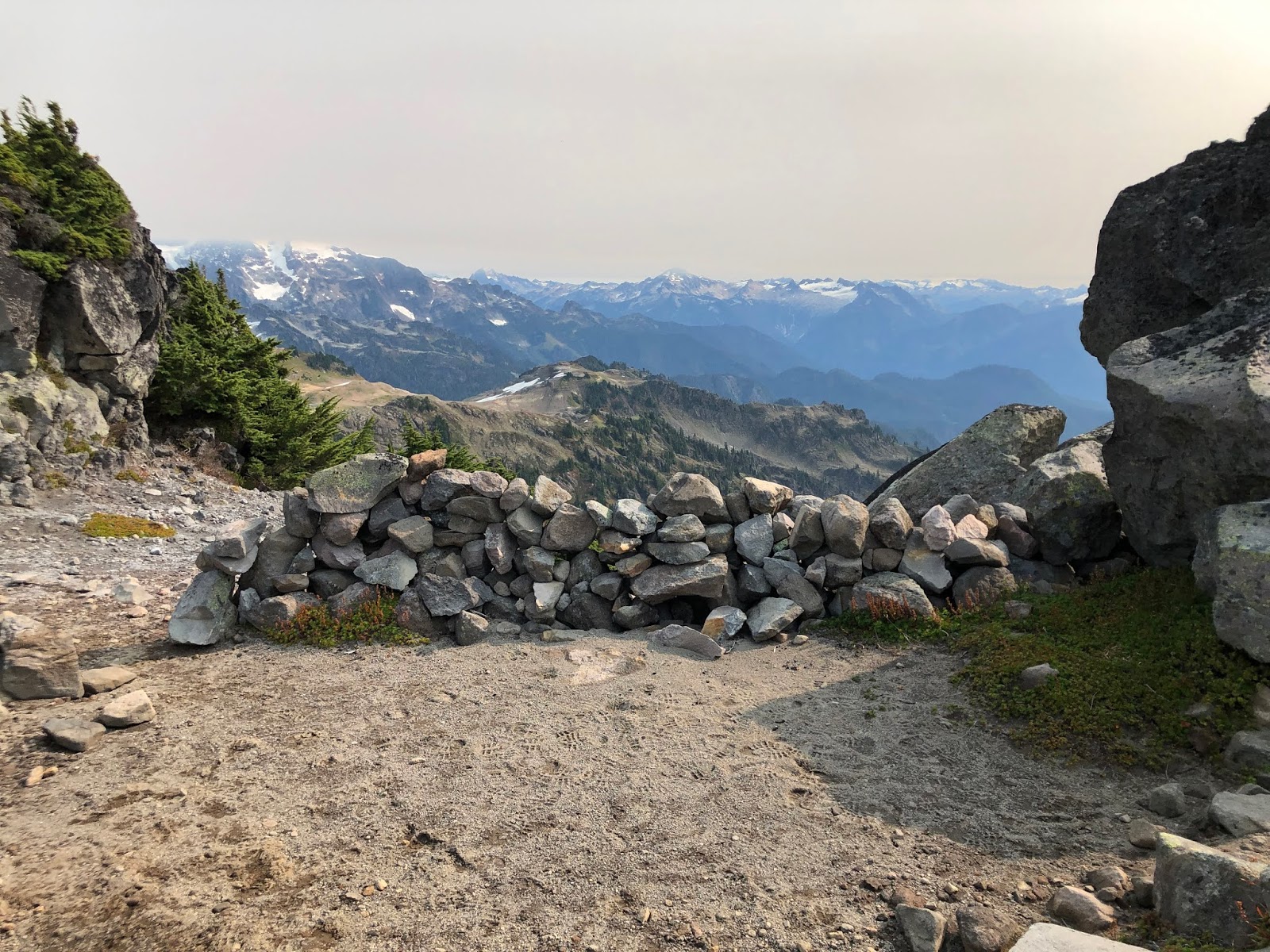
A nice wind break camp area at the top of the hill.


Baker lake from the top of the hill.

A snow field walk up to the Portals, with Mount Baker looming ahead.

Mount Baker

The Portals

The white dots or patches in the dirt area below is a herd of Goats, visible in the distance but not good with my camera. 

I ate the other half of my lunch before heading back down the trail.
Marmots on a side hill spotted as I made my way back towards Goat lake.

The Marmots a little closer in the photo.

The trail ever before me.


The last stretch towards the Artist point parking lot.

One more look at Shuksan, still a bit of smoke in the air.

*Google photos made a panorama of two photos zipped together❤

I thoroughly enjoyed "my" day in the high country.
Garmin stats:
Total miles -11.3
total ascent - 2349 feet
total descent - 2297 feet

Monday, September 14, 2020

PCT Section H Day six, Knife edge trip

The morning view out my tent door.

The wind died down quite a bit by the time we got up, we only had to be mildly careful of our tent blowing away.

My brother and sister in law enjoying their last breakfast with a view.

Goodbye camp❤, time to make our way down the trail and to our car.

Mount Rainier again peeking over the ridge.

Looking east from the trail. The smoke was quite a bit better than it was on our Day one.

If you zoom in on the photo below and look at the center of the photo you'll see the top of the White pass ski area chair lifts.

Do you see the Bluebird?? It's very hard to see. There were several flitting around, I wasn't sure if I had even gotten a photo of one.

PCT sign❤

Last rest stop on the trail.

Proud to have finally finished our FS road 23 to White pass section!

Quite the journey was had by these four. I'm glad we were able to have spent the time together.

Goodbye PCT you were good to me this summer❤
Till we meet again.....

Relive video of our route:

Garmin stats:
total miles hiked - 6.42
total ascent - 203 feet
total descent - 2201 feet
Elevation profile -

Total trip summary:
total miles hiked - 39.69
total ascent - 9087 feet
total descent - 8959 feet

Sunday, September 13, 2020

PCT Section H Day five, Knife edge trip

Leaving Lutz lake, today's hike would take us to our last camp of the trip.
My husband's super organized style of getting ready to pack his pack in the morning.

Yoda aka a sleeping bag in a compression bag.

Enjoying a sit down before the day's hiking.

Our first rest stop was near Tieton pass and at the North Fork Tieton/Clear fork trail junction. If you remember reading in Day two's POST, I noticed a very large conk on a tree at this junction.

So many Vanilla plants along the trail.

We passed what our Guide book author declared "an unnamed brown pond", except when I looked at it there was a wonderful reflection in the water. Not a wide spot to get a great photo, but the reflection was wonderful❤

Someone apparently thought this was cute to put on the log in the middle of no where.

What's that you say? Rest break! Yes, I'd love a rest break!

Great idea!

We had found the perfect place for a break: rocks to sit on and shade from the hot sun.

Bear grass still lovely even after the flowers were gone.

These rock spires were towering above us.

We made our way back through the burn area.

As we looked back we could see the Knife edge and Old Snowy, where we'd been just one day before. It always amazes me how far a person can go just by continuing to put one foot in front of the other.

Shoe lake trail sign. We decided to head to the lake for a long break, to enjoy the water and to refill our water containers as we planned on staying somewhere on the ridge for the night. That meant a dry camp.

No camping and no fires in the Shoe lake basin.

We walked through alpine Blueberry bushes.

Shoe lake.

It was nice to sit and enjoy the cool breeze at the lake. My husband finally got to enjoy a high country lake swim.

My brother got to enjoy a nice wade, he mentioned something about rocks and sensitive feet😉
 My sister in law was content to sit in the shade of the trees a little bit inland.

I just enjoyed❤.
 We all enjoyed the long rest stop in our own particular way.

Dragonfly in the rocks and tiny tiny Periwinkles in the mud.


Rest time and water filling over it was time to head up the hillside to look for a camp. My husband valiantly carrying the water again. Yes, we all asked if he wanted us to help each day that we needed to carry it but he deemed it his job. Always the Sherpa and guide❤.

It wasn't a long walk up from the lake and not particularly steep, so it was an enjoyable trek to take while we looked for a spot to sleep for the night.

Looking back at Shoe lake.

The saddle of the ridge where we'd hoped to camp didn't have a suitable area for our tents, so my husband marched south on the trail above Shoe lake to see what he could find. I waited at the trail junction for my brother and sister in law to tell them about our search results, and the new plan. We headed the direction that my husband had gone and it wasn't long before we saw him in the distance coming towards us with no pack on. Yay! We knew that that meant he'd found us a place.
Our spot.

My brother and sister in laws place.

Camp set up as the sun was setting.

My husband had made a small trail that led to a view point. We all walked out to it and as we returned he found this large rock and asked if it was a heart rock.

Sunset on Mount Rainier

Sunset over Shoe lake.

Sunset over the Knife edge and the out and back destination of our journey❤

Our camp.

My husband read the last nights' reading of Patrick McManus for the trip in the dark. It was a good one and we went to bed after having a good laugh.

The wind blew terrifically most of the night. WOW!
We couldn't have had a more beautiful place to spend the last night of our trip, complete with the Knife edge view at sunset.

Garmin stats:
total miles hiked - 6.67
total ascent - 1883 feet
total descent - 594 feet
Elevation profile -

to be continued.....