Our hike today was a short local one that we've done many times. This time the plan was to go about 5 miles. I enjoy this forest so much. I'll keep the words to a minimum and just let you enjoy the trail as I saw it today.
Sometimes life and the trail (if you're a hiker, runner, OCR enthusiast etc.) can seem challenging filled with never ending daunting obstacles. You wonder how you will have the strength to get to the end.
One foot in front of the other that's how it's done.
Between our events and travels I did manage to get some sewing done on my quilt. Before we went to Montana for the Spartan Beast/Sprint weekend I got all of the center of the quilt sewn together.
and before the North Olympic Discovery Marathon I got started on the first border.
This week and since we've been home from our backpacking trip I finished two of the four borders. I got the first border done with no major mishaps.
I strung up the second border for a photo and took it down and that was when I noticed my mistake. Sadness..... I had to have a little bonding with my seam ripper. Can you tell where I went wrong?
If you can't tell perhaps a comparison photo will help. Here's the correctly finished one.
Oh well, progress is progress.
Two more borders to go.
In the midst of our summer fun I’ll try to fit in the sewing when I can.
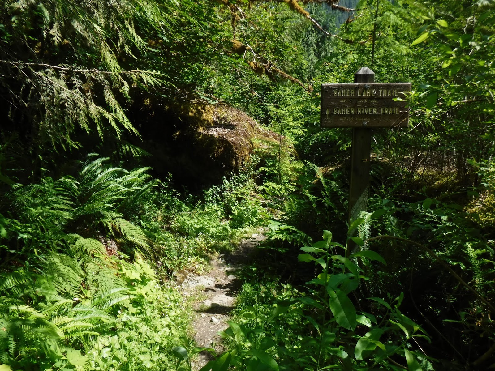
My husband planned a 3 day backpacking trip for us along the Baker Lake trail. Our plan was to start at the southern end of the trail and hike north and camp at Noisy creek for 2 nights. I've written about our other backpacking trips on this trail, you can read those posts HERE (July 2017) and HERE (August 2017).
We had a couple of warm days for hiking, the first 2 day's were in the 80's and the last day thankfully was in the 70's. Since we were at a lake the breeze would pick up off and on, which helped with the bugs, which were few anyway. As I've said in my previous posts about the Noisy creek area, it really is the perfect hot weather hike as most of it is in the shade.
Day one:
We began our journey by driving to the Baker lake dam and driving across it to the trailhead.
This forest is a favorite of mine, and is different with each season. This trip we saw a variety of wildflowers. There are also many varieties of mosses, ferns and trees.
Boardwalks! I like to step on each board, it leads to a jig like looking walk, but I enjoy doing it.
Anderson creek log bridge.
We stopped at the Maple Grove campground for a rest break and to splash some cool water on our heads.
Back on the trail there were several large frogs, that were constantly in danger of being stopped on by our boots.
Columbine
We stopped for another rest break at the Silver creek campground. Our destination was only 1 1/2 miles away.
Noisy creek.
Camp is just beyond this corner.
Camp at last.
I'm loving these longer daylight days, we can have a late start to our hike and still get camp set up and eat before it's dark!
We both enjoyed standing in the lake to cool down our legs and feet. It was a bit too cold for me to swim, but my husband always gets in a good dunk or swim. His main occupation after our meal and camp set up when we are at camp is to clear the driftwood off of the beach. The wood floats on the lake surface each day with the wind, some of it come up on shore and piles up. The lake also goes up and down in level each day so the drift wood is either coming or going.
Our plan for today was to do a day hike to Sulphide creek, I'd been there before with the Trailblazers. You can read that trip report HERE.
First morning view of Mount Baker with just a few clouds in the sky.
The lake view from our campsite cove. Notice the beach is a bit more tidy😉.
On to our hike. Just a bit of morning dew on the plants as we began our dayhike.
We'd heard reports that this trail had quite a bit of tree fall over the winter. It was nice to see the great efforts of the trail crew.
I laid my hiking stick on a log to give perspective of the size of these trees that had to be removed.
Lovely large Devils clubs growing here and there.
I love this trail❤. More opportunity to do my boardwalk jig.
Hidden creek photo ops of us.
We took a rest break when we got to the flat corridor that goes along the Baker river.
Baker river suspension bridge.
Our right turn to Sulphide creek.
We got to snake our way through large rocks that brought a welcome coolness to the air.
Flowers overhanging at the river bank's edge.
A great large log to walk across.
Leaving the USFS trail and entering the North Cascades National park area.
Our destination - Sulphide creek. There is a campground there but since it's in the National park you have to obtain a permit from the Marblemount (Wilderness information) ranger station or possibly the North Cascades visitor center in Sedro-Woolley, unlike the first come first serve sites along the lake.
Sulphide creek
Purifying water for our lunch break.
A wonderful upward looking view.
This end of the trail had a few tree down yet for us to climb over. There was a trail crew there working on cutting away a section for hikers to walk through.
The photo below shows the quick work of the crew. On our way out to Sulphide creek we climbed over these, on our return a nice cleared path!
Indian Paintbrush.
We followed the Baker river back to the Suspension bridge.
Columbine
The "cool" boulder walkway.
The Pacific Northwest trail emblem on the Suspension bridge rail, who knows where the Pacific Northwest trail (PNT) connects to get a hiker here or from the other end. It's a mystery to me, I'll have to do some map searching.
Back to camp and a nice foot cooling soak in the lake.
Our constant companion - Inch worms. They were everywhere, climbing on the picnic table, our tent and on us. Enlarge the photo to get a better look at it.
In the photo below the inch worm has "inched" up.
Last view of our home away from home❤
Heading out:
Views from the trail.
Twin flowers
Tall ferns
Tall trees
Banana slugs
Lunch stop, just a bit before Maple grove.
Coral root
Ferns and streams
Butterfly
Anderson creek bridge, we stopped on the other side for a rest break before that last couple miles out.
total miles - 10.38 (no stops at Maple Grove or Silver creek this time)
total ascent - 1325 feet
We haven't been hiking much since we amped up our running miles for the Marathon. I was happy to find that our hiking legs still knew what to do. It's interesting that Spartan training, walk/running and hiking all use different muscles. Each one has it's own unique ache when you're done. I'm glad that this time it was my favorite - "the hiking" ache😉.
Three day totals:
total miles - 35.07
total ascent - 4088 feet
A special thanks to the trail crew that removed a large rock and widened a narrow eroding section on the return section of the trail while we were on our journey. The work was much appreciated!