Monday, June 22, 2015

To the top of Church mountain

Sometimes plans and schedules change. 
I skipped last Thursday's trailblazer hike because my husband took a rare day off from work. He works alot of hours and I savor our time together so we played in Skagit county for the day. If you saw my weekend's picture of the week, I was amazed at how early the crops are maturing. Take a peek at that post HERE
We've had really warm temps here this spring and our crops are benefiting from it.
We've had a bumper crop of cherries - 


Anyway.....getting back to my beginning topic, we had planned on hiking up Church mountain a couple of weeks ago and schedules changed, so we decided to try again yesterday. It was another warm day, but wow was it spectacular. 
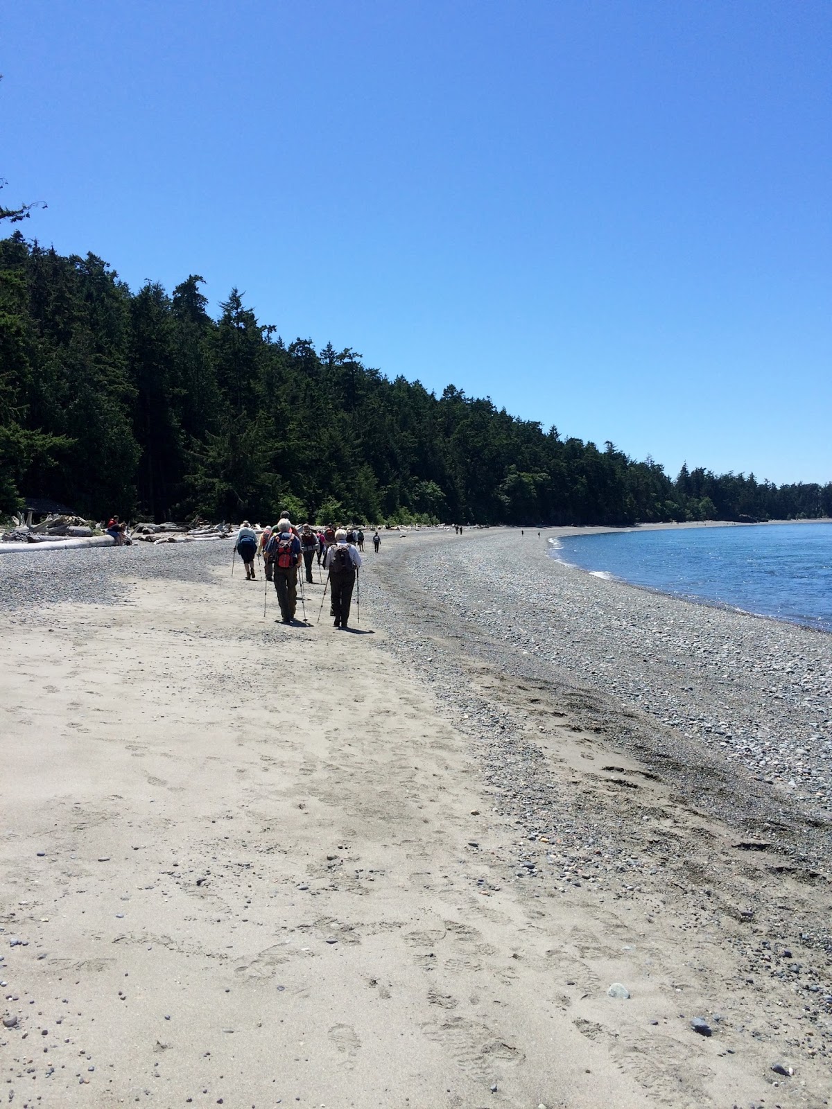
Be forewarned, there will be ALOT of pictures in this post. 
It was too gorgeous not to share them. I was thankful that the first 3 miles and the last 3 miles (yes, it was an out and back hike) were in the forest, so we had lots of shade for those parts of the hike.
The trail head info. says 4.2 miles (one way) to the top, but we did a little side trip to eat part of our lunch before we got to the top, so it ended up being a bit longer for us.
Just as we were coming out of the forest we stopped at the first creek for a rest break.


Then it was into the full meadow.


The photo below is a panorama that includes both Shuksan and Mt. Baker.
Click on it to see it larger.


My pictures don't show them very well, but the wildflowers were everywhere.
It was spectacular walking through them.


We stopped for a bite of our lunches before heading up to the top. It was getting warm and I felt like a fuel replenishing stop aka food :-) sounded good.
Then onward and upward.


One last little rocky trail section just before the top.
27 switchbacks from the trail head and then we were there!


 The views were awesome.
We could even see the San Juan Islands & the Olympics from the top.

Shuksan and Mt. Baker in the distance
Kidney lake below
The photo below is my favorite picture from the day


It's been 30 years since I've hiked to the top of Church mountain, I hope we do it again a little sooner!


Endomondo stats:
Total miles hiked - 9.9 miles
Minimum altitude - 2257 feet
 Maximum altitude - 6086 feet
Total ascent - 4010 feet
Total descent - 4128

Thursday, June 11, 2015

Little Mountain Trailblazer hike

14 of us Trailblazers gathered eagerly today to carpool to the "mountain". 
No, not "THE" mountain. 
Here in our neck of the woods "THE" mountain is Mt. Baker. We will get up into the foothills of Mt. Baker soon, but today's hike was to be Little Mountain, located in Skagit Valley.
We've been having glorious weather lately, upper 70's and 80's. My kind of weather, I love it!
Pat in the photo below scouting out the map.


Then joined by Pam - more scrutinizing,


and we're on our way.


The forest made it ideal for hiking, the shade was nice and a slight breeze made it even better,

my favorite photo subject - "a sea of ferns"
 We gave this trail a 4 thumbs up rating, because there was a port a potty at the start, one at about our 1/2 way point up to our lunch spot and one at the view parking lot at the top. 
Outstanding!
If you click on the photo below, you will see that our fearless leader "Pat" seems to have an ethereal glow about him :-)


Ginny's Trail & our "Ginny"


The viewpoint looking to the North.


The photo below is a panorama, if you click on it to enlarge it, you will see Mt. Baker on the right.


Our merry crew, minus me & Joe. 
Joe was behind me taking a photo as well. 
We are the photo snappy ones of our troupe.


 I'm in the photo  below -  the one Joe took while I was taking the group photo.

photo credit Joe
I caught Helen enjoying the view at the overlook parking lot viewpoint.


If you click on the panorama below you will see what she was enjoying -
 "Skagit Valley".


I looked straight down and saw daisies.
We ate lunch at the viewpoint knoll.


A spectacular day!

Endomondo stats:
total miles hiked - 5.91
Maximum altitude - 958 feet
Minimum altitude - 139 feet
Total ascent - 908 feet
Total descent - 674 feet


Thursday, June 4, 2015

Goose Rock Trailblazer hike

Wow, it's been since April 30 that I was on a Trailblazer hike. 
Too long. 
What a great day for a hike! 17 of us met at the Bellingham Senior Center to begin the long carpool to Whidbey Island. I was excited not only because it was my first hike back with these great people, but because this is one of my favorite hikes (yes I know I have many favorites. hee hee). If you're interested you can read THIS POST from April 2014 (the first time I'd ever gone there).
We began our hike at Cranberry lake. I never know quite the route that our "fearless leader - Pat" will take us on, and he was true to form today. I've done this hike a couple of times before, but never with the route we took today. It's always interesting what our route and distance will be when it's all said and done.

Cranberry Lake


In the past when I've done this trail we have always taken a right at this sign in the photo below and headed up to the "balds" for lunch. Today Pat had other plans we went to the left around the Goose Rock perimeter trail before heading up the hill.


Cornet Bay

I had truly missed being in our beautiful Pacific Northwest forests.


Wild Rhododendron
 We also saw this little fellow below, with something in his/her tummy - lunch!?


Finally at the top.
Time to enjoy the view........


 & time for lunch.


On the way back we walked the beach.


I missed hiking with these great people while I was off playing for a few weeks.
If you ever get a chance to join a hiking group, by all means jump at the opportunity.
Another great day spent with great people.

Endomondo stats:
Total miles hiked - 7.6
Minimum Altitude - minus 10 feet
Maximum Altitude - 491 feet
Total Ascent - 755 feet
Total Descent - 802 feet