

Friday, July 31, 2015
Saturday, July 25, 2015

Thursday, July 23, 2015
Stimpson trail run
I varied from my regular Thursday hike, when I got an invite from my daughter to go for a trail run with her. She wanted something a little hillier than she has in her own location.
So we met at the local REI parking lot and drove together to Stimpson Reserve.
The plan was for me to run one loop and for her to run two loops while her kids were in camp. We only had a few hours to do this & we planned it just right for her to head home before their bus would arrive.
She and her husband do Spartan races, they will be doing one in August so she needed a good training run. They hope to earn a double Trifecta (2 Sprints, 2 Supers & 2 Beasts) this year. One Trifecta is when the three levels of Spartan races are completed in one calendar year: Sprint, Super & Beast. They accomplished the single Trifecta last year.
I posted about their first Spartan race in August of 2014 HERE.
We had a good morning exercising, (doing our push ups and mountain climbers)


and running (kindof) together!
She passed me twice on the trail, once around Geneva pond where we purposely went opposite directions so we could say hi and the next time was about 1/2 mile from the finish.
 |
| Saying hi as we passed each other near Geneva pond |
 |
| If you click to enlarge the photo, you will see her just coming out of the trees in the distance on the trail. |
In the video (sorry iPhone users, you won't be able to see the video) she's passing by, and ready to be done.
Fun morning with that girl of mine.
Sunday, July 19, 2015
Picture(s) of the Week ~ Pillars of Wisdom
A finished a piece called "Pillars of Wisdom" for the


We had a chance to go and look at it in place. It looks amazing!

Thursday, July 16, 2015
Ridley Creek Trailblazer hike
The destination for today's hike was Ridley creek,
I thought I hadn't been on this trail before but my husband reminded me I had hiked it many moons ago. We had backpacked to the Mazama Park horse camp and spent the night at the meadow.
Today 12 of us Trailblazers carpooled up the Mt. Baker hwy, the Mosquito Lake road and then about 12 miles on FS road 38 to the trail head.

Interesting sign to read at the beginning of the hike.
 |
| Click to enlarge to better read the signs |
I found this link to a blog about the geology of the trail area.
You can read the post HERE .
I understand that this bridge crossing had been damaged in a rain we had a couple of days ago and was just repaired and replaced yesterday, perfect timing for our hike.
You can read the post HERE .
I understand that this bridge crossing had been damaged in a rain we had a couple of days ago and was just repaired and replaced yesterday, perfect timing for our hike.

The forest was very lush with lots of mosses, ferns, conks & blueberries. It was a magically beautiful place to spend the day.
Entering Mt. Baker Wilderness area


There were many mother logs in this forest, but this one I really liked.


This bridge was a little precarious for some in our group as it had no hand rail, but there was no water below at this time either, so it was an easy bridge to bypass.
I enjoyed crossing it.

By the time we'd gone just a little over 3 miles and had been steadily going up we were all wanting to stop and eat our lunches. There was no view point or even a great place to sit, so we just plopped down along the trail and tried to find a good log or rock to sit on.
Our fearless leader "Pat" was hoping to get us up to the opening of the Mazama meadow before heading down, but we only walked a short distance more after lunch before heading back. we all agreed it had been a beautiful forest hike with a few peeks at the Twin Sisters and Park Butte.
Our fearless leader Pat keeps track of our stops, starts, turns etc. on each of our hikes.

 |
| Click to view the Twin Sisters a bit better |
Even though they were viewed through the trees and at a great distance away, we didn't feel too cheated at not getting any higher today.
 |
| click to enlarge to get a clearer view of Park Butte |
There were a few clouds in the sky that obscured a view from us when we began our hike today, but as we crossed the Middle Fork river foot bridge on our return the sky had opened and we got a magnificent view of the Black Buttes and the Deming Glacier.
Most excellent!
 |
| click to enlarge to get a clearer view of the Black Buttes and Deming glacier |
Ridley Creek trail is a part of the historic Bellingham to Baker Marathon route. You can read about the historic race and of Daniel Probst's dreams to revive this race HERE.
Endomondo stats:
Total miles hiked - 7.17 miles
Minimum altitude - 2409 feet
Maximum altitude - 4354 feet
Total ascent - 2303 feet
Total descent - 2073 feet

Sunday, July 12, 2015

Thursday, July 9, 2015
Skyline Divide Trailblazer hike
Fires, Smoke and a change of plans.
Our Trailblazer group was scheduled to hike up Sauk Mtn. today, but a wildfire burning near Baker lake prompted our fearless leader Pat to make a change. So instead of heading south of Bellingham, we headed north to Skyline divide. We were hoping to get another chance to see some mountain wildflowers before they are all gone.
We drove the long gravel road (12 miles) up to the trail head from the Mt. Baker hwy.
We stopped to watch a Grouse walk VERY SLOWLY across the road.

Our group of 8 stretched our legs from the long ride, got our packs and boots on and headed up the trail.

Note, the blue bag dispenser hanging on the sign post. The Mt. Baker-Snoqualmie National forest requires that human waste be packed out in the blue bags.

Our fearless leader Pat signing in at the trail head.

A heart rock <3

We hadn't hiked for very long when we realized our leader was in distress. He has breathing difficulty normally on inclines, but this was much worse than usual. He wasn't doing well, we all agreed we should head back down the trail. I've stated this about our group before, but I really like how supportive and encouraging we are when one of our hikers is having a hard time. That is what it means to be in a group experience, we always yield to the person that is having difficulty. No one moans about the missed opportunity of going to the top. We rally around the particular person, doing what we can to get them back to the car as quickly and safely as possible.
I tried to get a photo of the haze in the sky, we realized the reason for his labored breathing was the smoke in the air drifting down from the fires in British Columbia, Canada
 |
| Slight smoke haze in the air |
We dropped down in elevation and ate our lunch along the river, much cooler too.

You can see by the milky colored water that there is alot of Glacier melt going on in the mountains.


 |
| more slight smoke haze in the air |
After lunch Pat enjoyed taking us on a little scenic drive to checkout the area.

Of course the mandatory stop at Graham's for ice cream on the way home & as you can see I did manage to get a picture of some flowers too!

Little did we know that both of our hiking destinations would be impacted by the wildfires burning around us. It was still wonderful to be out with our group, even on an abbreviated hike.
Endomondo stats:
Total miles hiked - 1.77 miles
Minimum altitude - 4915 feet
Maximum altitude - 4117 feet
Total ascent - 825 feet
Total descent - 703 feet

Monday, July 6, 2015
Main Salmon river rafting trip
Our friends got lucky and got a permit to run the Main Salmon River due to a cancellation of another group. I found out that rafting people are like vultures. If they don't get a permit they stalk the internet looking for cancellations and then they strike and voila they have a permit!
That's how we got on a short notice trip last week. Lucky us!
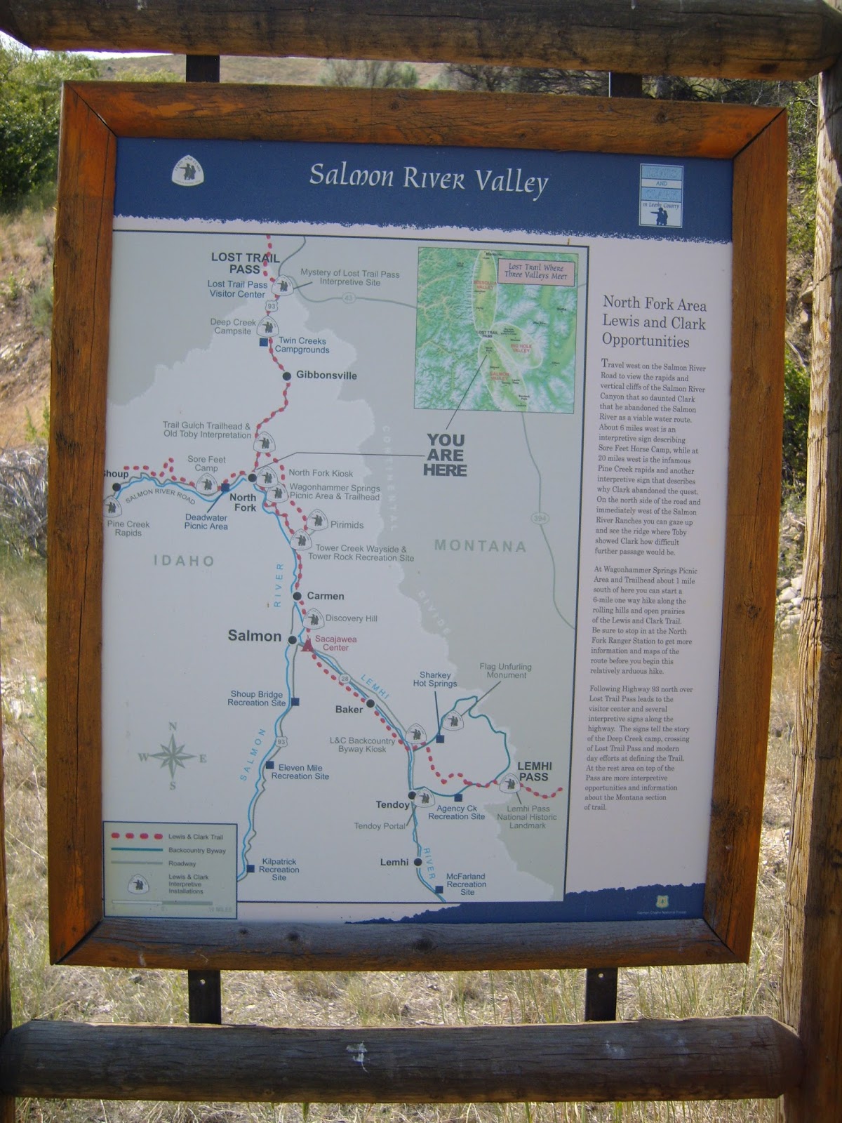
We drove from Northwest Washington all the way to Missoula, Montana and farther south to North Fork, Idaho to rendezvous with our friends. The North Fork General store was the last place for us to get gas, buy our river map/guide book, souvenirs and ice cream before heading up to Cache Bar for our launch.

The River guide on the left is the newest publication for the river, it was really useful for the latest rapid information. The book on the right is one we had purchased in 2011 when we were hoping to do the trip with the same friends, but they had a car accident the day we were to leave home and so that trip was cancelled. We were all packed up and ready to leave when we received the phone call.
It was very nice that we were able to actually do the trip with them albeit a few years later.

We then drove 35 miles to Cache bar.

We saw some Big horn sheep along the way.

At last Cache bar.

Time to get everything out of the cars, pump up the rafts, put on the frames and put all of our gear on them.


The rafts are all ready,

only one sleep away from launching.
It was so warm we decided to sleep on the beach instead of setting up the tent. We were only able to sleep under the stars a couple of nights because the no see-ums (tiny bugs you can't see, but can really feel) tried to eat us alive after that.
It was so warm we decided to sleep on the beach instead of setting up the tent. We were only able to sleep under the stars a couple of nights because the no see-ums (tiny bugs you can't see, but can really feel) tried to eat us alive after that.

We are on the river, June 28, 9 am. My husband did all of the rowing, I sat in the front of the raft and watched for debris, rocks etc. that might need to be avoided on river. Most of the portion of river that we rafted on was the Wild and Scenic section.

There were a few areas where we could stop and look at Petroglyphs along the way. A small amount of Poison ivy to watch out for, but it really wasn't much of an issue at our camps.

We had long stretches of calm and then stretches of rapids. We had a couple class III-IV rapids, but mostly we saw class II & III rapids, very fun. We only had one incident early on in the trip. We hit a lateral wave in a big rapid the wrong way and our raft went up on it's side. We were able to keep it from flipping although my husband did get launched out of the raft. I was glad I'd been upping my fitness with my Spartan workouts, it paid off when I had to help him get back in the raft before we headed down another rapid. I didn't get any pictures of us going through the bigger rapids because I only got my camera out of it's dry box before and after the splashing was over!


We were able to get out and hike some, we went to the James Moore site and crossed the pack bridge to visit Campbell's ferry historic areas.
James Moore historic area and grave site.


Campbell Ferry historic area


We also made a stop at Buckskin Bill's aka Five Mile bar. This is an oasis on the river. The private residence operates the store and historic area and allow rafters to refill their water jugs.


Our camps were beautiful. Since it was so hot the week we were rafting, we looked for shade as soon as we got to camp. Relaxed, napped and read for a bit till the sun went behind a hill and we could more comfortably set up camp and eat dinner.

Another lush place to stop was the Polly Bemis historic cabin. The land is now owned by a private group but they allow visitors to view the cabin.


Everyday was beautiful and pretty warm, but relief was just a jump in the water away!


July 4th was our take out day. We got to Spring Bar, Idaho at 10:30 in the morning. We planned on getting there early as we had a long take down, and pack up ahead of us before a long drive home.

It always amazes me that the raft can be so small when it's not full of air.


Our car was shuttled by River Shuttles company aprox. 350 miles, boy were we glad to see our car there when we arrived at the take out spot.
A great short notice adventure of 98.5 river miles.
I'm so glad we were able to go.

Thanks George and Maryan for the great time!


Subscribe to:
Posts (Atom)