Today we went to the Squires lake trailhead with the intent of eating our lunch at the top of Alger Alp.
The parking lot had a tree down at the trailhead end, my husband got out his small hand saw and cut away branches so we could walk under it better.
Little did he know that this would only be the beginning of his tree service duties for the day😉
I enjoy this hike because the PNT route is on part of the trail. I always am on the lookout for the blaze marks painted on the trees. I checked on my Guthook app off and on while we hiked and it was interesting to see where we were in regards to the PNT as well as reading the comments that were left for that particular part of the trail.
I like to check out the view from the bridge to see if there is a reflection on the lake.
Yay! A nice reflection today.
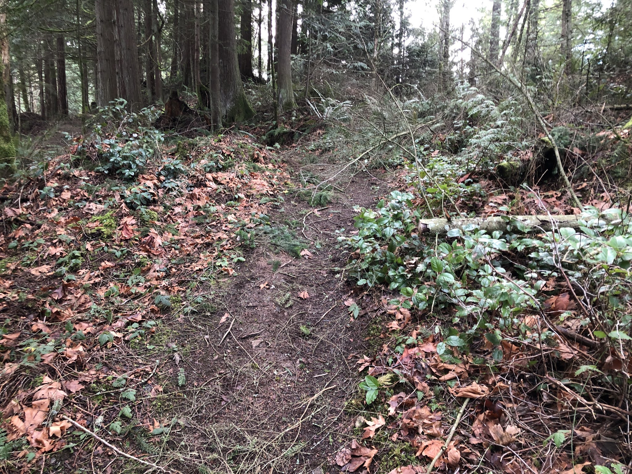
As we made our way along the trail we began to see more and more carnage from the wind storm we had experienced in our area a couple of nights ago. This section had a lot of blown down branches.
There, we can finally see a trail!
We went out to the viewpoint trail and saw that it was the same view as usual.
The trees have grown up so there really is no view.
Then it was off to the trail again and a chance for me to once again watch the eager trail crew man earning his place on the trail today. I dutifully documented all forward progress.
I walked through the jumble of branches (in the above photo) so I could look back down the trail at my husband for a better photo angle to document the job at hand.
He finished getting the branches off so it was more of a manageable get over or around for the next people on the trail.
This one was an easy one to cut. Just a tiny one.
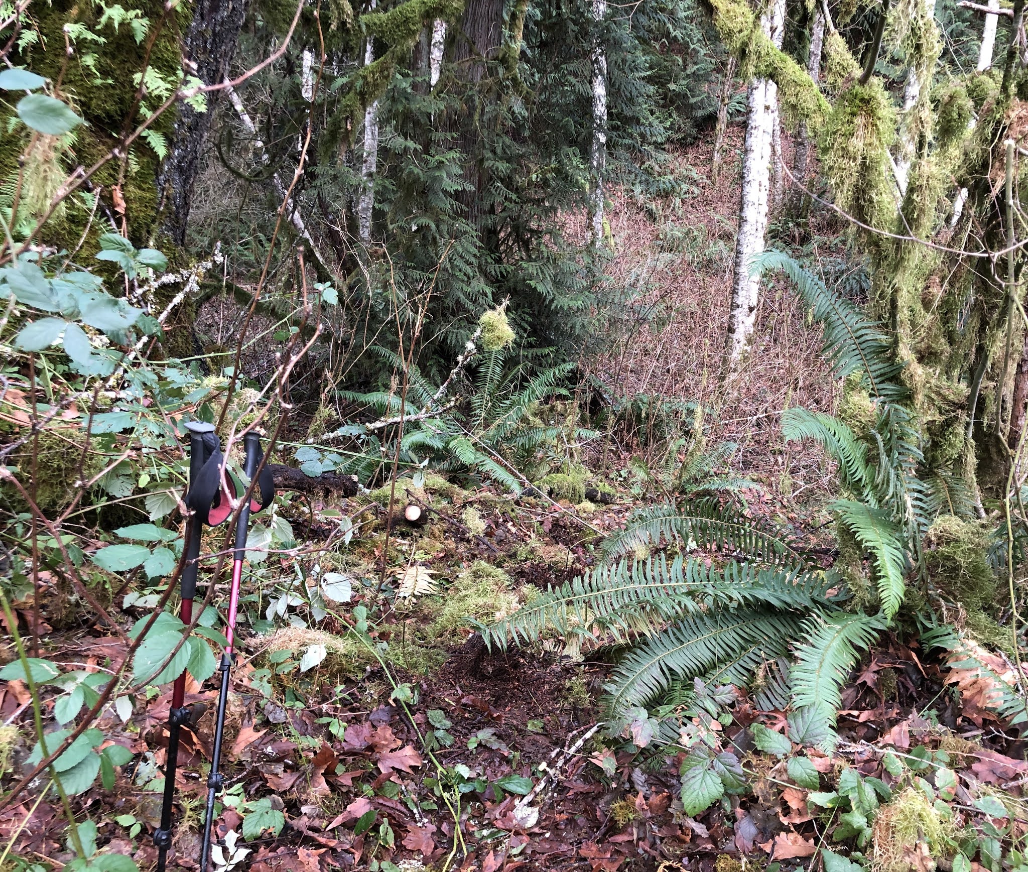
I took this photo not even realizing it was the trail junction to the Spine section of the hike. I thought to myself interesting to have the sign post over there.
We walked past and then realized that the trail was indeed behind us in all of the mess where the sign post had been. So after only going a short distance the wrong way we turned around and he began to do some serious cleanup. It was about this time that I realized that if I also had a small saw in my pack as well, I could be helpful instead of just being the photo journalist. Oh well.....
The sign post is actually visible now!
This tree just had some branches that needed to be removed so we could step around it. He left one nice branch so it could be used as a handle as we stepped around the low side of the branch, not too wide after all there is a cliff on that side😲.
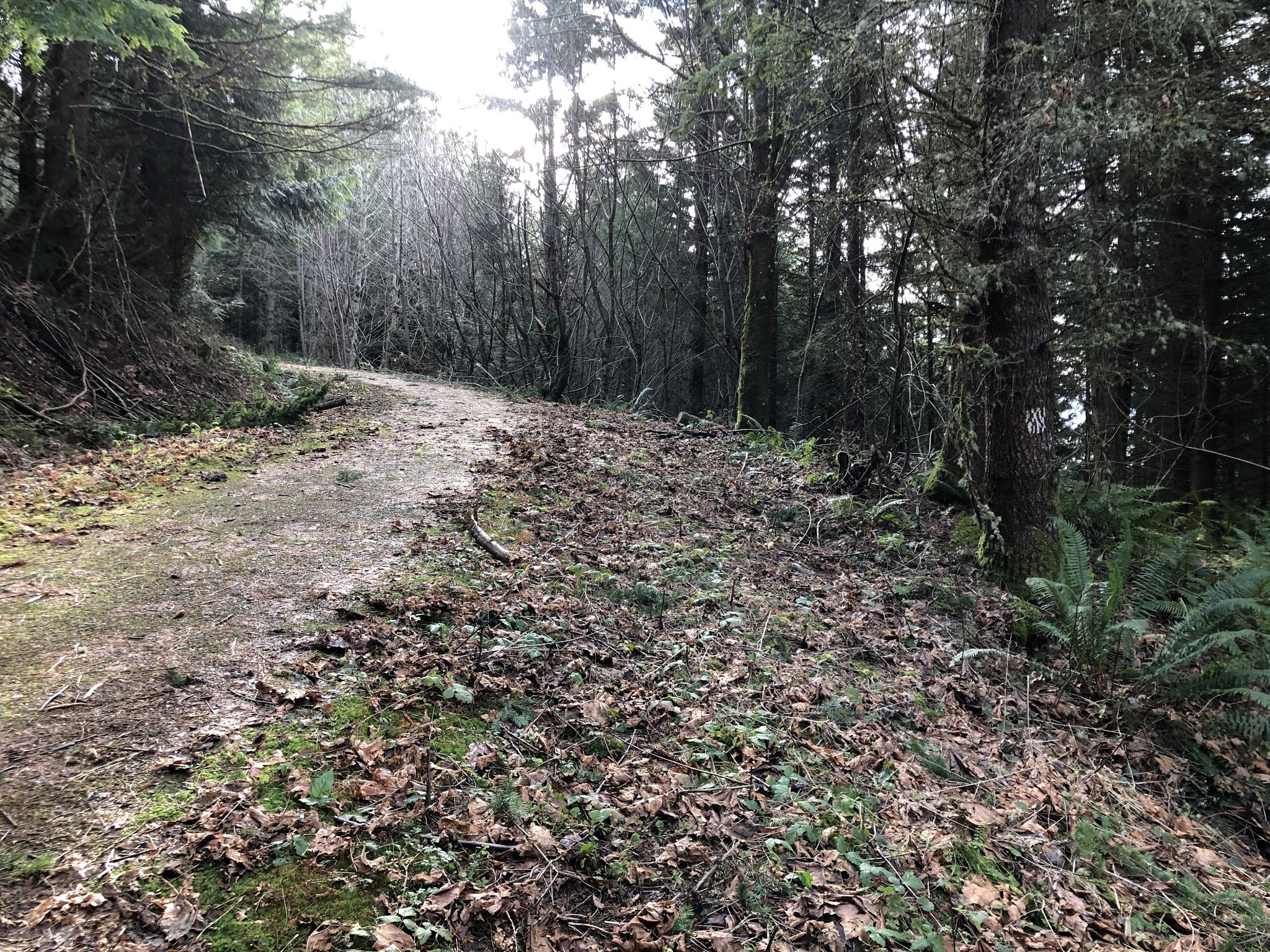
Ah...a lovely "normal" trail with no blow downs.
Then it was road walking the rest of the way to the top.
Not much debris was on the road.
The last corner before the top gave us a nice view of Mount Baker with the Twin Sisters.
Just before we got to the top I heard voices and when the people came nearer I was excited to see it was some of my former Trailblazer hiking partners. They were hiking in a group of only three since we are in the Covid era. We did quickly lower our masks so we could really recognize who we were speaking to: Karen, Bill and a face new to me Lenny. After visiting awhile we all went our own way, they were happy to hear that my husband had done some trail cleanup. They were "true" Trailblazers and climbed in/under/and over the carnage as they made their way up the trail. We were happy to take your place at the lunch rock to enjoy the sun and the views!
Looking towards Blanchard mtn.
Looking towards Skagit Valley.
It was hard to leave the warmth of the sun after we'd eaten our lunch, but time to head back. It was noticeably colder as we made our way back down the road. I wore my jacket and gloves all the way back to the car.
On the way down I spied this rock. Doesn't it look like a face!?
Of course, we stopped at the Beaver pond to check it out.
We were dismayed to see that the Beaver dam had been broken through, water was running freely out of the pond.
We past a large fallen tree that had a side trail that people had been using, my husband stopped to cut a small branch away from the trail.
This is the tree that the trail now bypasses.
Mossy trees all around.
He did another great job, the trail had been cleared!
I'm ever thankful for my hiking partner, besides being quite useful on the trail he really is good company too❤
On our way home we stopped and enjoyed the sunset.
What a sight❤
Garmin stats:
total distance - 5.43 miles
total ascent - 1306 feet
total descent - 1250 feet