
Our trip to the Olympic Peninsula started with a ferry ride on Friday, then we picked up our Wilderness camping permit and race packets in Port Angeles on Saturday. On Sunday June 5th, we ran the North Olympic Discovery trail Half Marathon on the Olympic Discovery trail.
My husband ran it with me, I was pleased that we broke 3 hours. Our official chip time finishes were: 2:58:50 & 2:58:51.

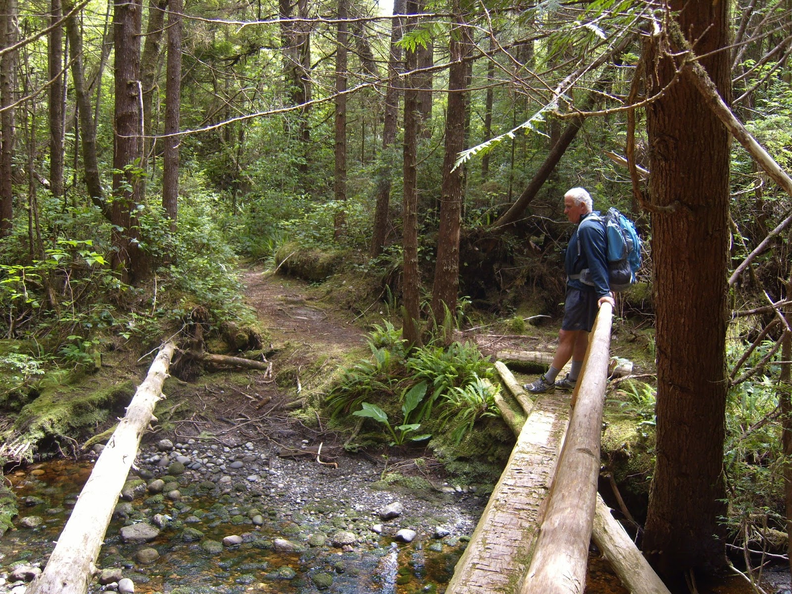
Then on Monday it was time to drive to Lake Ozette to begin our backpacking trip. After making sure that everything we needed was in our packs we stopped at the trail head for photos.


Our plan was to hike the Ozette Loop, and camp at Cape Alava and Sand Point before heading back.
There are creeks near the campsites for water, but it all needs to be treated. We hauled in some good drinking water & thought we'd just treat our cooking water.
Carrying our jugs :-)


When we got our permit in Port Angeles they gave us info. on where we could camp and the tide chart for when we'd be on the beaches. The tide chart is especially important because of the point crossings. The ranger emphasized to only cross the points on an outgoing tide. Not all of the points have overland crossings and must be crossed on the beach.


We reached Cape Alava and set up our tent. It was overcast when we got to our site, so we put the rain fly on.

After we were done with dinner & our camp duties we went for a hike up to look at the Makah archeological dig site. As you can see by the photo, there's really nothing left to see. If you'd like to read about the Ozette/Makah Village and it's history click HERE.

 |
| The dig site |
Tuesday morning we loaded everything into our packs and headed towards Sand Point. We had to go around a point between Cape Alava and Sand Point, at high tide there is a land crossing but at low tide it's a nice beach walk.


The photo below shows the orange and black sign (target) that points to an overland crossing trail. The black and white targets signify a camp area.

I was hoping the tide would be low enough for us to see the petroglyphs at Wedding rock.
We found a few.
We found a few.


We stopped at this great sea stack for a photo.

We were able to go around the points just fine.

Sand Point, our camp area for 2 nights.

We were the only ones there and had the pick of the sites. We found a prime campsite, someone had even made a windbreak!

We set up our tent and kitchen and ate before going for a walk to check out the beaches.
No rain fly tonight. The wind really shook our overhead tarp all night long though.

 |
| our camp kitchen |
We had a few shrews, a family of deer and a rabbit for neighbors while we camped. We had expected raccoons, since they used to be a real problem at these campsites but we never saw one. We heard that there had been a virus that all but wiped them out of the area. I was surprised to see that there were no seagulls, sea stars or sand dollars on any of the beaches we were on. It was very strange being at the beach and not hearing a gull calling. We did see many eagles and seals on the rocky side of the beach. The seals would get up on the rocks at low tide with their pups, they were fun to watch.


Wednesday we decided to walk down the beach and see the Yellow banks area.
If you click on the photo below, you'll see that I tried to get a close up of an eagle sitting on a rock. It's not too clear but it is identifiable.

Looking towards Yellow banks.

I named the rocks below the "Portals".

There is no land crossing for this point, so we were glad it was a low tide.
Yellow banks is just around the corner, the tide was coming back in so we decided a peek was good enough for the day.

Tide pool life.

An otter ran from the water to the bank right in front of us, I didn't get a picture of it but I did get this picture of where he went. I think it had a den in the bank.

We decided to check out part of the trail to Ericson's bay on our return.


There was a small hill on the point near our camp, we went up to check out the views.

 |
| on top of the hill |
 |
| looking towards camp and the point |
 |
| the view from the top of the hill looking towards the ocean |
We were good and hungry after our long day and we each apparently enjoyed an after dinner snooze.

Some clouds were moving in & it got a bit chilly & started sprinkling off and on. I was thankful for my layers.

There was a wonderful sunset that night.

We put the rainfly on our tent before bed and there were a few rain showers during the night.
Thursday already and time to say goodbye to our most excellent backpacking trip to the Ozette loop.

 |
| trail target |


 |
| Lake Ozette |
Hiking miles tracked: 22.76
No comments:
Post a Comment
Thank you for taking the time to read my blog, I welcome your comments.