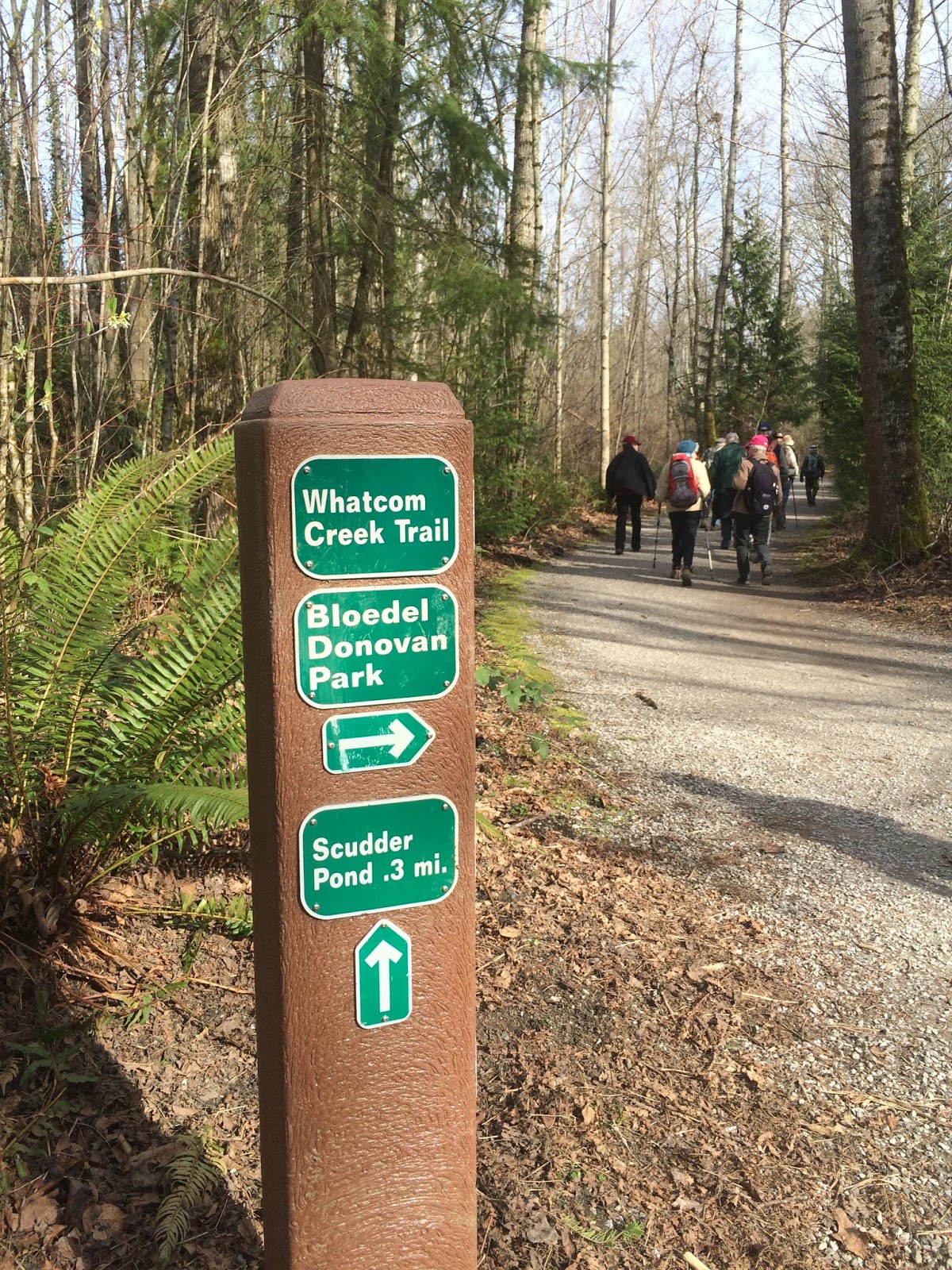
When I saw what the hike for today was, I wasn't too thrilled about it.
It was to be a hike? walk from the Bellingham Senior Center to Whatcom Falls park, 6 - 7 miles easy. I went determined to enjoy the day with the others in our hiking group.
It was great to be on this Urban hike?walk with the 13 (lucky?) ones of us who went today.
Bellingham has an extensive trail system. We are truly lucky to live in such an area.
We really only hiked in neighborhoods for short periods of time, the rest of the time was spent on trails.
We even got in some uphill ;-)
We then enjoyed walking in Whatcom Falls park,
and the trail towards Scudder's Pond.
We didn't go all of the way to the pond, we instead took a right turn on the trail to head back to Whatcom Falls park for lunch,
It was a little cold & dark in the shelter for lunch, but our view. Oh how glorious!
After lunch on to the trails.....
We walked through the cemetary and more "spring".
We walked past Bellingham's famous "Angel".
I found this site with some beautiful photos of her.
Time to head back onto the trail once again.
Just when I thought that this had been a fine hike,
I was given another gift of spring!
Thank you Mother Nature, just what my heart, soul & mostly my attitude needed.
Endomondo stats:
Total miles hiked - 8.65
Maximum altitude - 378 feet
Minimum altitude - 49 feet
Total ascent - 388 feet
Total descent - 378 feet


