August 29, day 9
Cougar rock to Maple creek
The Cougar Rock Wilderness CG in the morning, we were the last to leave.
A late start for us.
Road crossing back to the trail.
My system doesn't like smoke. The group beside ours had a campfire the night before, it makes me swell up. My face and eyes were lovely this morning.
Crossing the Paradise river
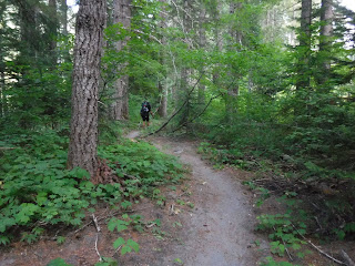
We are definitely in tourist country now, notice the extra wide trail. It was interesting, we would cross the paths of Wonderland loop hikers in the mornings and evenings. Wherever there was a road close to the trail there would be lots of day hikers, other than that we had the trail to ourselves.
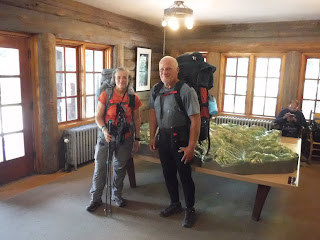
A nice gentleman that we visited with took our picture near Comet falls.
Lunch break time.
A road crossing to the Reflection lakes area.
Another memory picture taken for us.
We walked a couple of tenths on the road before joining the trail again. Kindof a weird experience.
The West side bridges are in rough shape.
Another road crossing as we headed to Maple creek.
I'm a part of the Facebook group "The Wonderland trail", there has been alot of chatter about the upcoming section of trail. Apparently the slide area has been there for a few years, but people think that it is very sketchy and that the Park should do something about it. Well we were about to get a first hand experience and see for ourselves what we thought about it. When we drove our cache around we stopped and looked at it with our binoculars and decided that if it was bad we could walk 5 miles on the road and bypass it. By the time we arrived at this sign, we felt like we had gone on so many sketchy trail areas that one more wouldn't hurt us. So on we walked ever onward.
A nice rope handrail.
Much carnage from a blowout on this creek.
In the photo below, you can see where the road is on the left side hill. This is where we checked out the slide area with our binoculars.
A peek a the view below.
My husband nearly to the slide area.
I didn't take many photos here, because I was focusing on my feet. It wasn't scary but it is definitely narrow and exposed. Our packs rubbed against the rock in one area and there wasn't a wider step to be had. I was more concerned with falling on the downhill side. I tend to slip on rolling rock in steep areas, so I was glad when that part was over.
Someone put alot of work in this nice rock retaining wall.
Such a pretty forest walk to Maple creek.
When we did this section years ago with our kids they were intrigued with the "pitchfork" trees. I was happy to see that there were still some here.
Another lovely West side bridge.
We passed our "trail friend - Ken's" camp on the way to ours. He made it safe and sound as well.
Relive video of our route:
Garmin stats:
total miles - 10.81
total ascent - 2110 feet
total descent - 2421 feet
Day 10 to be continued


