I was so excited today. Today we get to hike through one of my favorite places on the trail - Seattle and Spray parks❤, but first some good uphill hiking.
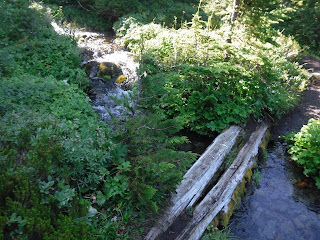
Seattle park, a place of flowers and water❤
The sun was so bright the water glowed.
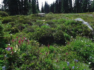
Then the rocks and views of the alpine.
Not too much snow to cross at the top, no Yaktrax or Microspikes needed.
The saddle cairn marker.
How many times can a person's breath be taken away by the view of Mount Rainier? Apparently too many times to count. I could have stayed there all day.
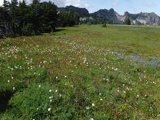
Looking towards Spray park.
Spray park a place of Mount Rainier views, wildflowers and wide open spaces. I left a part of my heart there.
As we were making our way out of the meadow my husband spied a bear on the far hillside. I don't know how he noticed it. We got out the binoculars and saw a large bear. In the photo it's in the center and to the left of the white creek line going down the hill. I don't have a big pricey camera, my zoom wasn't able to capture it in detail. Pardon my attempts and quality of photos.
Zoomed in still blurry and out of focus, but great through our binoculars😁. We talked to a ranger later and found out that the large male is a resident of the Spray park area. Lucky us 3 bear sightings so far this year.
A heart rock on the forest trail towards Mowich lake.
Coral root
Our last uphill of the day, Mowich camp!
We found a site for our camp and my husband went to the patrol cabin to retrieve our cache. We were very excited that it had indeed been brought up from the Carbon River ranger station.
Our cache❤
Thankful for the sun, time to dry out our sweaty/damp camp things.
Time to organize our new items from the cache and repack our packs.
Mowich lake❤
When we got to the lake we noticed an "aid" station set up near the camp area. I follow Aspire Adventurerunning company on Instagram and realized that this was the weekend of their first "all women" group running around the mountain. It was fun to watch them come running in one at a time throughout the evening. I loved how the support tent looked at night. What a fun group.
Relive video of our route:
Garmin stats:
7.81 miles
2346 ascent
1896 descent
Elevation profile:
Trip summary:
28.83 - miles
8,261 feet - ascent
7869 feet - descent
Elevation profile:


