We choose yesterday for our hike to Hannegan Peak to give us another day to recover from our colds and to hike on a nice sunny day. We got home late, so posting a day after.
We got up early so we could have as much daylight as possible for our hike.
The weather forecast was correct it was a nice clear morning when we arrived at the trailhead. It was a bit chilly according to our truck's temperature display, it showed 37 degrees. I tend to get really warm when I hike uphill so no gloves, hat or coat for me at the start. I did put on a thin long sleeve shirt over my short sleeved top, but other than that and shorts that's what I chose to wear. I really wasn't cold at our start and true to myself I heated up as soon as we began our uphill journey, so off came the long sleeved layer. I always bring extra clothes on hikes, usually a fleece long sleeve, a rain coat, long fleece pants, fleece buff and gloves so I'm prepared for whatever the day may bring.
We parked at the trailhead which is different now because of a washout.

I hadn't been here since the washout. As I was looking for a date for when the washout happened I came across this article talking about the area as the Hannegan caldera. I hadn't heard this before, and found it interesting. Here's a quote from NWHikers.net: "This caldera, essentially a large volcanic crater formed by huge explosive eruptions with subsequent edifice collapse, was only discovered as to its formation less than twenty years ago.
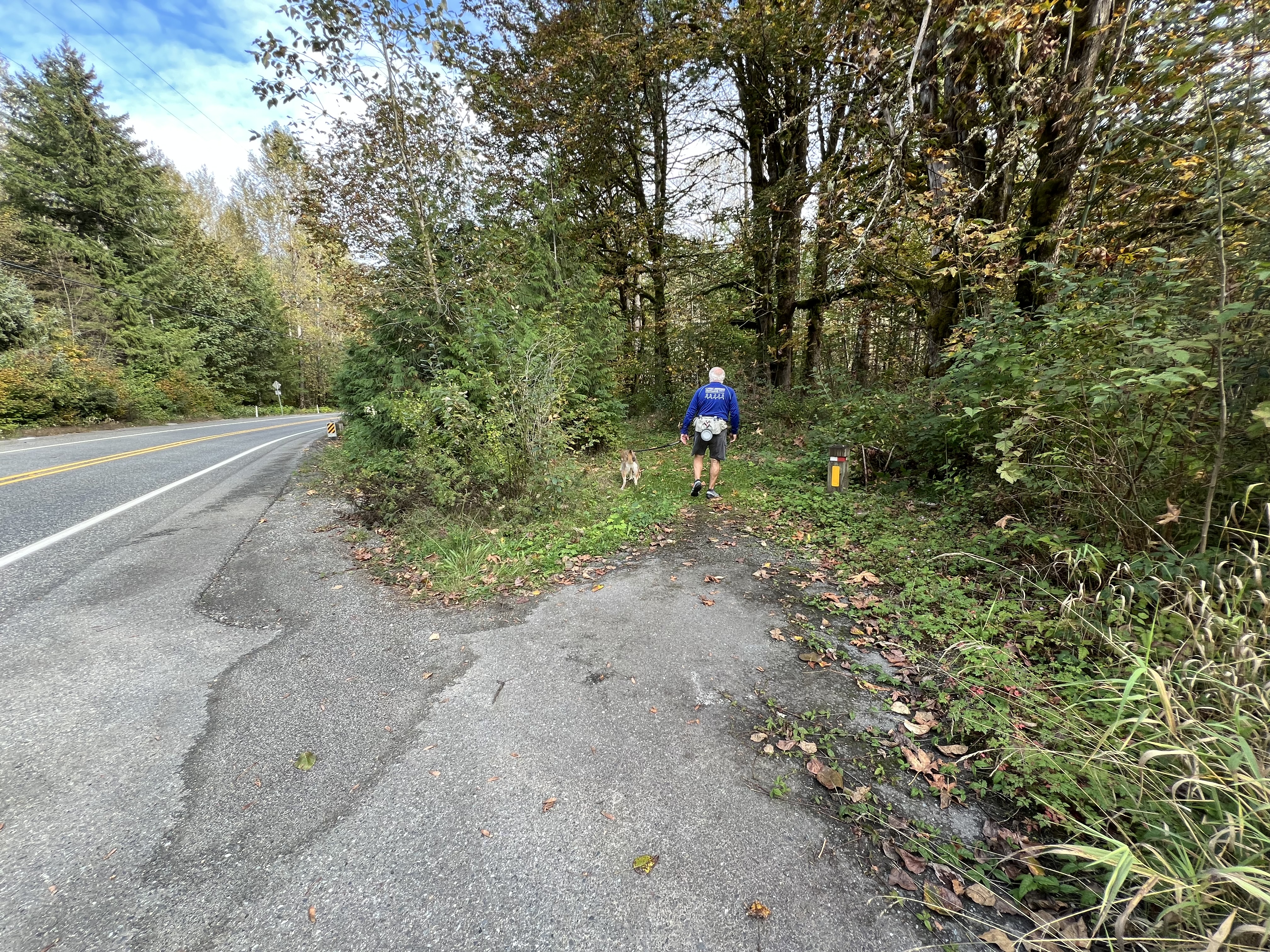
The eruptions have been dated at about 3.7 million years before present. You won't see a large 'hole' such as at Crater Lake due to details for original shape and also due to extensive post- caldera collapse erosion. Another even less obvious but younger caldera is the 1.15 m.y. old Kulshan caldera, which is closer to Mt. Baker. If you have hiked out on Ptarmigan Ridge you have traversed the rocks of that caldera. You can check out the post and see the beautiful photo's with descriptions HEREAs you can see in the photo below there has been some work done to try and reclaim the old parking lot. Hopefully sometime next summer we'll see the finished work. I don't know what the timeline is for completion.

So thankful for the blue sky start.

Signing in at the register.

Looking up the Ruth creek valley.

The sun was very bright and was shining directly into our eyes, even with my sunglasses on it was hard to look straight ahead. I was happy to see the fall colors when I wasn't blinded by the sun.

We heard Pika and saw them as well💓

Ruth mountain visible in the distance.

We hiked past the Hannegan pass camp.

The footbridge across the camp stream is visible in the photo below.

After a steeper section of switchbacks we came to the pass.

We sat on some logs at the pass had a rest stop, enjoyed the view and had some food before we continued up the Peak trail.

Onward and upward.
I was hopeful that we would make it to the top. I knew it was be work & I set my brain on the task at hand.

As we began our way up we were treated to wide open views, even as some clouds were beginning to show.
Ruth Mountain with Shuksan peeking out on Ruth's right shoulder, Shuksan is showing in the V area in the hills.

Shuksan zoomed in

I realized quickly after going up the few very high steps that I was tiring easily. I began stopping often to let my heart rate & breathing settle down. It didn't take long for my husband to say we are both getting tired I don't think we're going to make it to the top. I was sad, but knew that this was true. I wasn't in the shape needed to complete the hike.
The blueberries were in full color.

We stopped above a small tarn that Scoutina loved. She had a nice cool down. We found a place to stop and mentally adjust our thoughts. The last section was visible and we knew we definitely didn't have it in us. The top is about 1/2 mile further from where we stopped. We had another snack and rest time.

I sadly took my "bucket list selfie" with the trail to the summit behind me. A sobering day of reality of my fitness. The last and only time I had summited was in 2016, we had been training for a Spartan Beast event, so I was literally in the best shape of my life.
A cold breeze began to blow as we were eating. When we were in the shade it was quite cold.

I took a video of the view as we made our way back to the pass. Not the 360 I had hoped to get but still wonderful.
The beautiful views on our way back down the trail helped to revive my spirit.


Some clouds had began to come in as we made our way back down the valley and with the sun no longer in our faces I could take a few more photos that I missed on our ascent.
Ruth mountain

The fall colors were more vibrant without the sun directly on them.

I was glad that I didn't miss the surveyor benchmark on the way down.

I took way too many photos of the fall colors, so I tried to pick out the ones I liked the most.


I took a video as I walked along. Hope you enjoy seeing the corridor of color.
The vine maples along the hillsides were brilliant and breathtakingly awesome.

A good day on the trail even though my main goal hadn't been reached.

Trail rating: Hard
Total miles: 11
Total ascent: 2685 feet
We rewarded ourselves with dinner at Chair 9!
If you'd like to read about the other times I hiked this trail you can pick from this list:
September 2013, Hannegan pass, Trailblazer hike with special guest "my Dad"
September 2014, Hannegan pass, Trailblazer hike with special guest "my husband"
September 2015, Hannegan pass, Trailblazer hike with our fearless leader "Pat"
August 2016, Hannegan Peak Summit with my husband
I thought of this quote while walking through fall:
"Autumn is a second spring when every leaf is a flower." ~ Albert Camus
Did you know that there's a word for those that love the mountains?
Orophile: a person who finds peace and serenity, and connects with themselves more deeply in mountainous settings; a lover of mountains
I'm glad I got my day in the mountains even if it wasn't a summit.