
Our friends got lucky and got a permit to run the Main Salmon River due to a cancellation of another group. I found out that rafting people are like vultures. If they don't get a permit they stalk the internet looking for cancellations and then they strike and voila they have a permit!
That's how we got on a short notice trip last week. Lucky us!
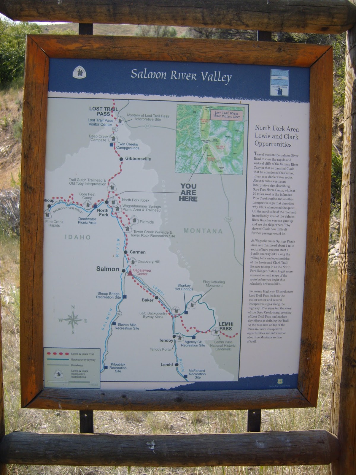
We drove from Northwest Washington all the way to Missoula, Montana and farther south to North Fork, Idaho to rendezvous with our friends. The North Fork General store was the last place for us to get gas, buy our river map/guide book, souvenirs and ice cream before heading up to Cache Bar for our launch.

The River guide on the left is the newest publication for the river, it was really useful for the latest rapid information. The book on the right is one we had purchased in 2011 when we were hoping to do the trip with the same friends, but they had a car accident the day we were to leave home and so that trip was cancelled. We were all packed up and ready to leave when we received the phone call.
It was very nice that we were able to actually do the trip with them albeit a few years later.

We then drove 35 miles to Cache bar.

We saw some Big horn sheep along the way.

At last Cache bar.

Time to get everything out of the cars, pump up the rafts, put on the frames and put all of our gear on them.


The rafts are all ready,

only one sleep away from launching.
It was so warm we decided to sleep on the beach instead of setting up the tent. We were only able to sleep under the stars a couple of nights because the no see-ums (tiny bugs you can't see, but can really feel) tried to eat us alive after that.
It was so warm we decided to sleep on the beach instead of setting up the tent. We were only able to sleep under the stars a couple of nights because the no see-ums (tiny bugs you can't see, but can really feel) tried to eat us alive after that.

We are on the river, June 28, 9 am. My husband did all of the rowing, I sat in the front of the raft and watched for debris, rocks etc. that might need to be avoided on river. Most of the portion of river that we rafted on was the Wild and Scenic section.

There were a few areas where we could stop and look at Petroglyphs along the way. A small amount of Poison ivy to watch out for, but it really wasn't much of an issue at our camps.

We had long stretches of calm and then stretches of rapids. We had a couple class III-IV rapids, but mostly we saw class II & III rapids, very fun. We only had one incident early on in the trip. We hit a lateral wave in a big rapid the wrong way and our raft went up on it's side. We were able to keep it from flipping although my husband did get launched out of the raft. I was glad I'd been upping my fitness with my Spartan workouts, it paid off when I had to help him get back in the raft before we headed down another rapid. I didn't get any pictures of us going through the bigger rapids because I only got my camera out of it's dry box before and after the splashing was over!


We were able to get out and hike some, we went to the James Moore site and crossed the pack bridge to visit Campbell's ferry historic areas.
James Moore historic area and grave site.


Campbell Ferry historic area


We also made a stop at Buckskin Bill's aka Five Mile bar. This is an oasis on the river. The private residence operates the store and historic area and allow rafters to refill their water jugs.


Our camps were beautiful. Since it was so hot the week we were rafting, we looked for shade as soon as we got to camp. Relaxed, napped and read for a bit till the sun went behind a hill and we could more comfortably set up camp and eat dinner.

Another lush place to stop was the Polly Bemis historic cabin. The land is now owned by a private group but they allow visitors to view the cabin.


Everyday was beautiful and pretty warm, but relief was just a jump in the water away!


July 4th was our take out day. We got to Spring Bar, Idaho at 10:30 in the morning. We planned on getting there early as we had a long take down, and pack up ahead of us before a long drive home.

It always amazes me that the raft can be so small when it's not full of air.


Our car was shuttled by River Shuttles company aprox. 350 miles, boy were we glad to see our car there when we arrived at the take out spot.
A great short notice adventure of 98.5 river miles.
I'm so glad we were able to go.

Thanks George and Maryan for the great time!


