
Today's scheduled hike to Skyline Divide turned out to be a blessing in disguise. Today marked the beginning of a 3 day heat wave for our region. The temps were supposed to be in the 90's. Our hike today was mostly in the forest, so we were protected from the solar heat until we reached the ridge. On the other hand the forest didn't protect us from the bugs, which were thick.
I volunteered to hike the "sweep" position today. The sweep person stays in the back and makes sure none are left behind. I had the pleasure of hiking the day with our "fearless leader" Pat for the day. The rest of our group marched ahead at their own pace.
It's a long drive, about 13 miles on a gravel road to the trail head parking lot from the Mt. Baker hwy. We were all raring to go when we got out of the cars.

Pat and Barbara checking out the map.

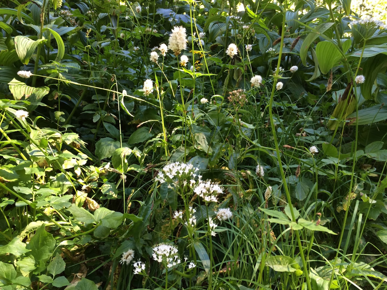
There were still a few wildflower colors and berries to enjoy along the trail.


I enjoyed my time with Pat, he's a wealth of information about the area and I really like to hear what he has to say.

The forest began to lessen as we gained altitude and we enjoyed our first peek at Mt. Baker.

As we rounded the last corner, I looked up and realized the ridge was just above me!

When we got to the ridge the rest of our group was just preparing to head back down the trail. After visiting a bit we went our separate ways. I dashed up to the knoll to the right for a quick view towards Baker, then headed back to eat lunch with Pat.

Panorama photo taken from the little knoll.

Mt. Baker

I love this picture I took of Pat walking along the ridge as we began our return hike down to the cars.

Pat and I made a major group decision while we were hiking - It shall be added to our bylaws - "All hikes in the north Baker trail system shall include a stop at Grahams in Glacier for ice cream."
So decreed :-) and it was so!
As we were heading back to town, we noticed the car temperature reading for the outside air read 93 degrees.
I am so thankful we hiked in the forest today.
Endomondo stats
total miles hiked - 6.12
minimum altitude - 4158 feet
maximum altitude - 5637 feet
total ascent - 1677 feet
total descent - 1634
* distance correction - I did a factory reset on my Garmin fenix 3 watch after this hike since the number was suspicious. I hiked the trail again on August 28th and the distance to the ridge after the reset was 2 miles so the round trip distance would have been just a little over 4 miles, not the 6.12 as stated above.
Barbara sent me a couple of pictures for me to include in my blog from their group. Thanks, Barbara!


