
A day of views and leaves❤.
Today we headed to the Lost Lake parking lot on Chuckanut drive to begin our hike to Burn out. It was 38 degrees when we began our hike, so it was definitely long pants under the hiking skirt weather.

The first part of the hike is on the gravel Fragrance lake road. It was so pretty out with the sun shining, the blue sky and the fall leaves (mostly on the ground now).
I recently read in Cliff Mass' weather blog the reason as to why our fall leaves have been so colorful here this year. You can read about his perspective with scientific data HERE.
Our leafy road to Burn out.

The Lost lake trailhead (left), Burn out (right) junction.

A bit of sign reading on our way up.

A heart rock on the road.

We stopped at the view area a couple of miles up the road and saw this wonderful view with birds flying through.

We walked through the area that had been logged last year. Wow, the wide open logged hills gave us some spectacular views. This rock area is now visible, I wonder if the rock climbers have discovered it yet? I was a bit discombobulated as we hiked up the road, I'm used to looking at the road with a forest alongside. It didn't look anything like I remembered, except the ups were still very much up. The last time we hiked here was March of this year, you can read about that day HERE.

Looking back at the islands.

We picked the location below for our lunch spot knowing that our usual spot has trees that are quickly growing around that view spot. Now we have a large area with awesome views.

I crossed the road behind our lunch spot and found this view - Mt. Baker and the Twin Sisters.

One last look at our view as we started walking towards the Lost Lake trail.

The trees are definitely growing near the view area we used to go to. In the photo below we're walking in the new forest, it's growing so quickly. This trail connects the Burn out area with the Lost Lake trail.

We are now on the Lost Lake trail and heading to the Rock trail.


The trail gradually climbs along cliffs and through a fern filled forest.

Then it was time to climb the steps up the Rock trail. My husband counted them on one of our hikes - 189!

Then we walked past the crazy elbow tree near the Cyrus Gates overlook.


The view from the parking area, complete with smog from Vancouver, B.C.

Then we walked down the road to the Fragrance lake trail.

We followed the leaf covered trail to the lake.

A great reflection!

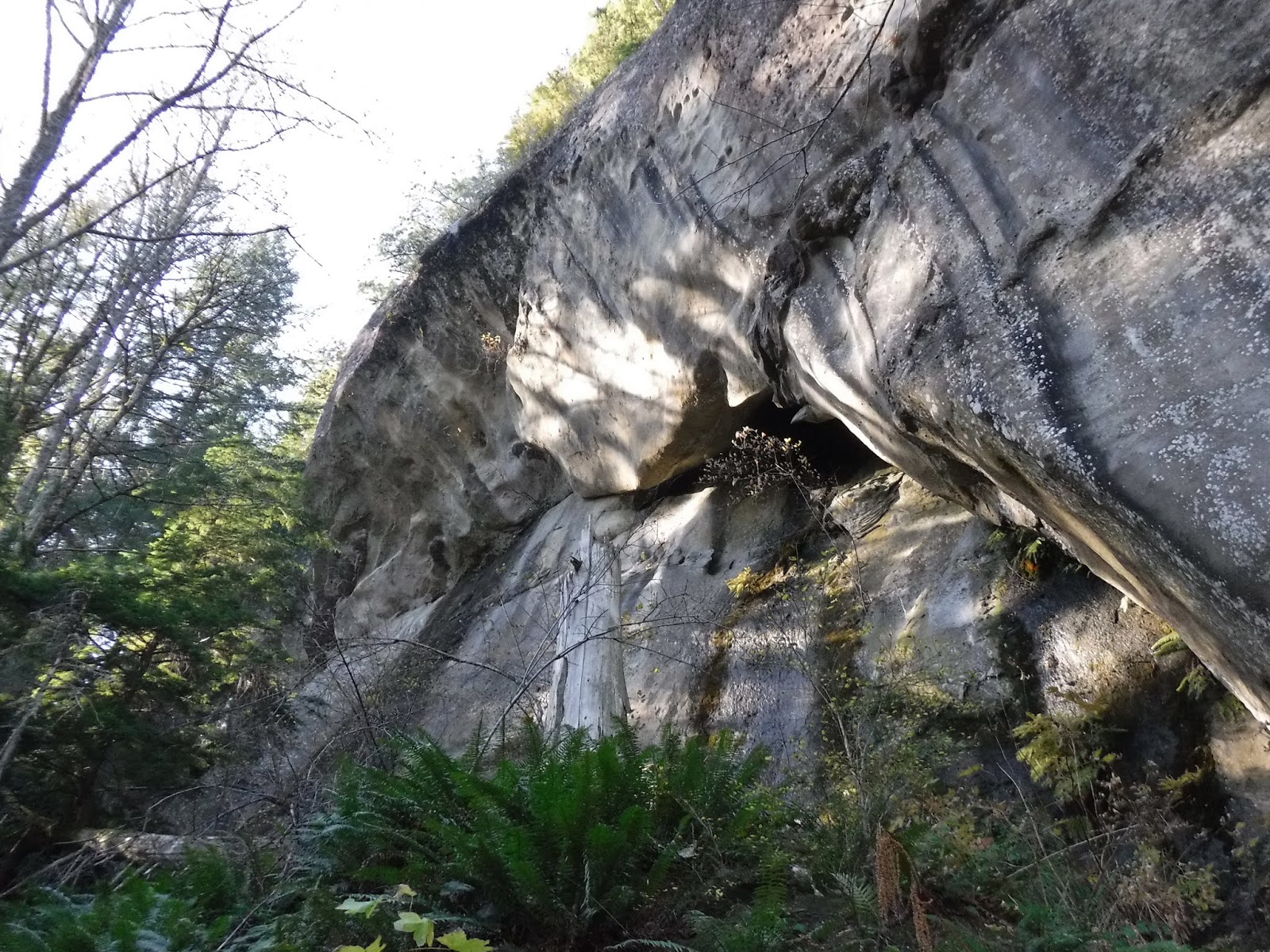
Our walk around the lake went alongside these wonderful rock cliffs.

We then hiked down the trail to the Fragrance lake trail overlook.

Another great view,

and before long we were on the Interurban trail making our way back to the parking lot.


We were just shy of 12 miles when we got to the parking lot so I walked around the lot until I got exactly 12 miles on my Garmin - Happy me!
Relive video of our route:
Garmin stats:
total miles hiked - 12
total ascent - 2667 feet
total - 2792 feet
The sunset was setting as we made our way home, I got this photo of it just above the raspberries fields.

