We set our alarm this morning so we could get an early start for our hike. We drove to the Lost Lake parking lot off of Chuckanut drive. It was overcast but a comfortable temperature for hiking. As we were walking through the parking lot we spied this Towhee.

We headed up the Fragrance lake road until it forked with the Burn out road.

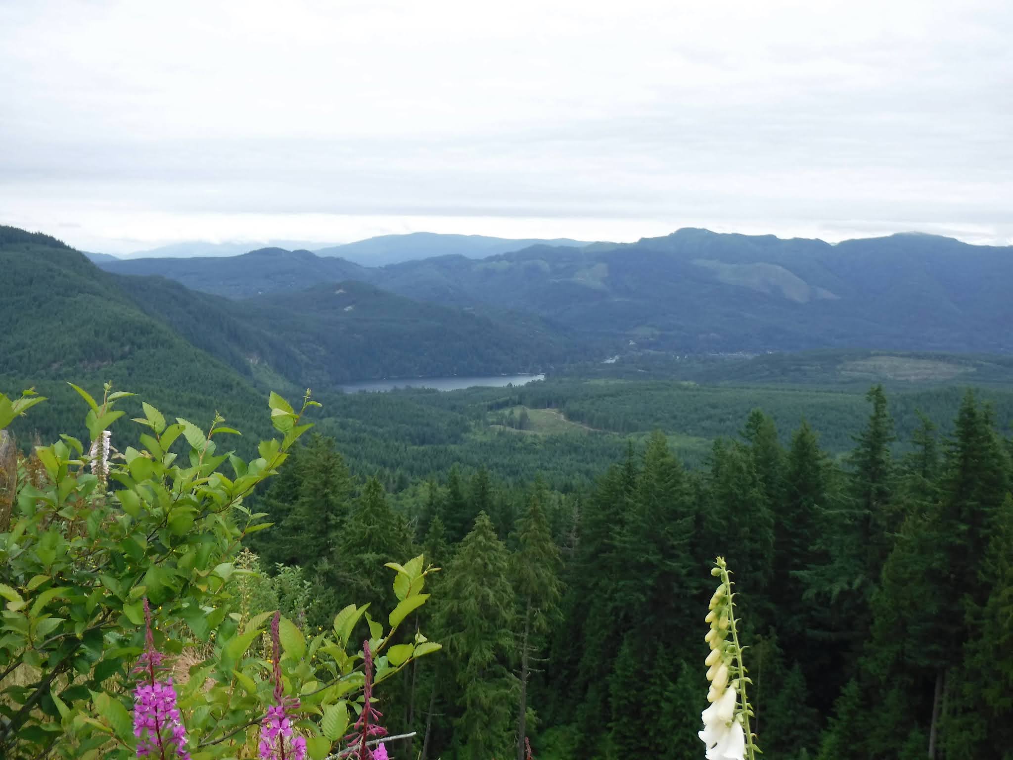
Our view at the first view spot.

My husband walking up the road in the clear cut area.

Foxgloves galore.

Of course we had to stop and enjoy eating the ripe wild Blackberries along the road.

Me - enjoying the view.

Huckleberries

Salmon berries

More views and flowers❤


Did I say the flowers were spectacular❤❤

Red Elderberry. We saw several Cedar Waxwing eating off of these bushes that were all along this section of the road.

As we made our way up to the high point of the logging road we saw a bunny enjoying a snack. it didn't seem to mind that we were there at all.


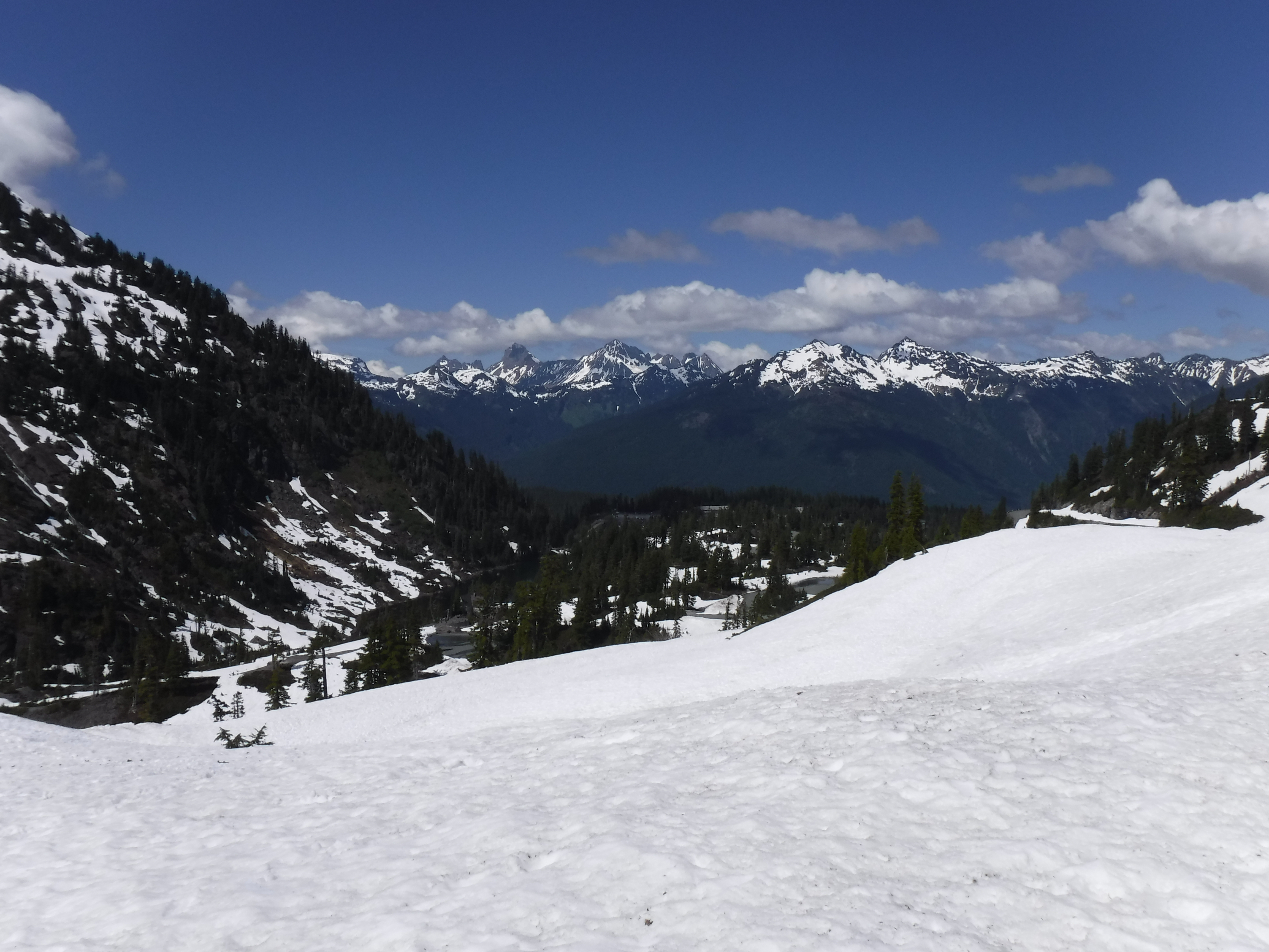
No views of Mt. Baker today, but we could see Lake Samish.
The trail down the hill side to Lost Lake had grown in considerably since the last time we'd gone down it. It appears as if it is a Mtn. bike trail now. Sometimes it was so thick I couldn't see the trail or my husband in front of me.


We had a log over the trail at one point. I tried to figure out the best approach to get past it: under or over? We chose over. Here's a look at it "after" we'd conquered it.

We saw "many" slugs along our journey today and a couple of open robin eggs.

Trillium gone to seed

After we'd gone about a mile through the "jungle" we found the forest floor we were used to, we walked along the lake for awhile and then stopped at the large rock at the lake for lunch.


As we made our way around the lake I spied this small fungus with water drops all over it, I found it interesting so I took a close up of it.

After turning to go along the other side of the lake, we passed the Rock trail junction and continued on to the South Lost lake trail.

We went through a stinging nettle jungle. Wow, they were tall and reaching out for us. Yikes!

After turning onto the Fragrance lake road that would take us to the parking lot we saw these Ghost pipe plants just erupting from the earth.


One last stop as we made our way down the road - the waterfall!

Total miles hiked - 10.6 miles
total ascent - 2395 feet

It started to drizzle just as we were nearing the parking lot and by the time we got home it was raining, so we timed it perfectly😉