Tuesday, August 4, 2020

PCT Section i Day six, White pass to Snoqualmie pass

I was looking forward to a shorter hike today, my feet were a bit tired from all of the downhill and many miles of the day before. 
Morning routine: I bag the sleeping bags, deflate the sleeping pads and pillows, roll them up and bag them while my husband cooks breakfast. We then organize our pack items and put them back in the pack in some kind of organized logical fashion. I think I packed my pack differently every morning.

After crossing the road at Tacoma pass we were on our way.


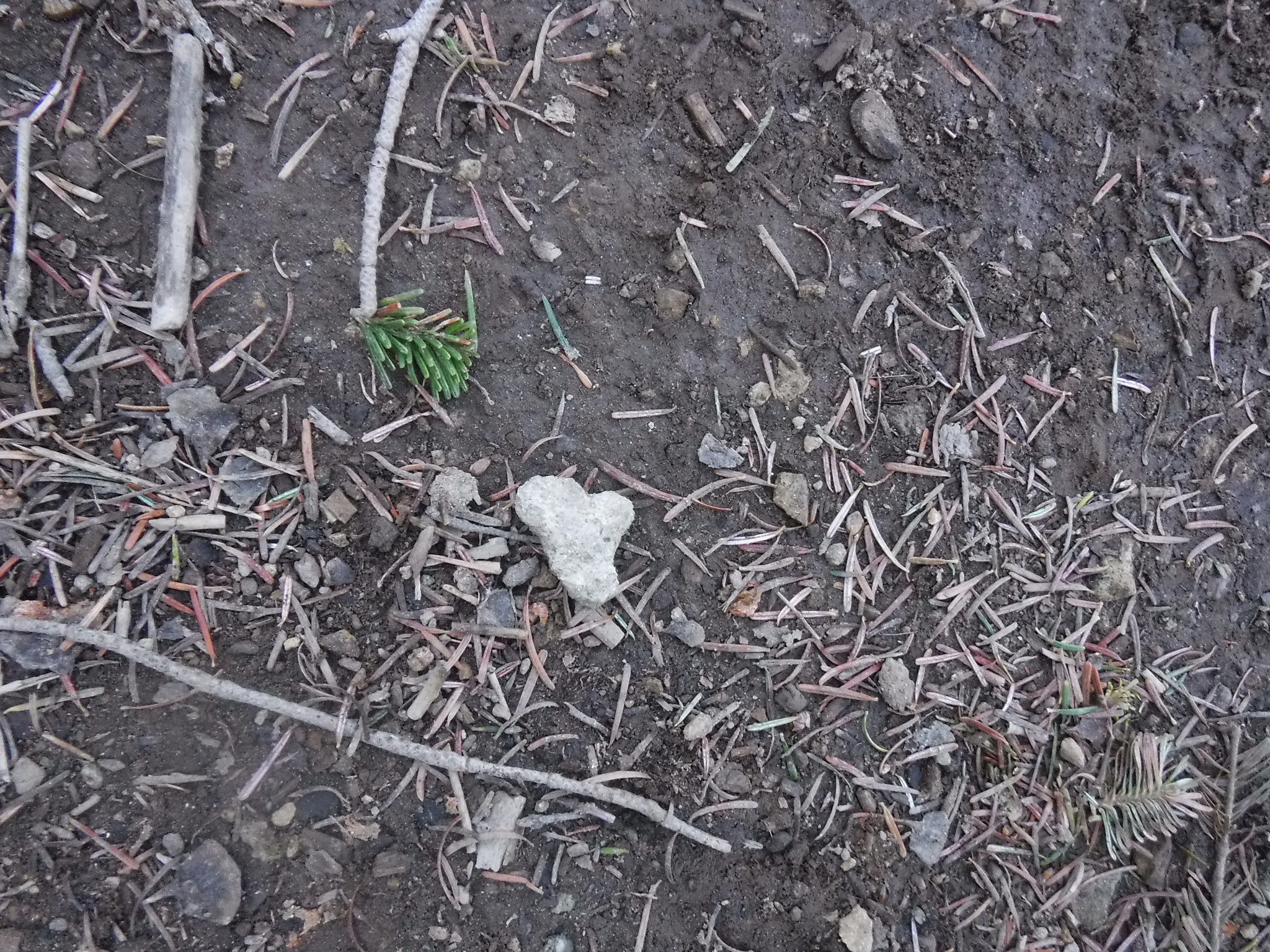
Heart rock❤ (a bit of a stretch, but I'm claiming it as heart shaped)

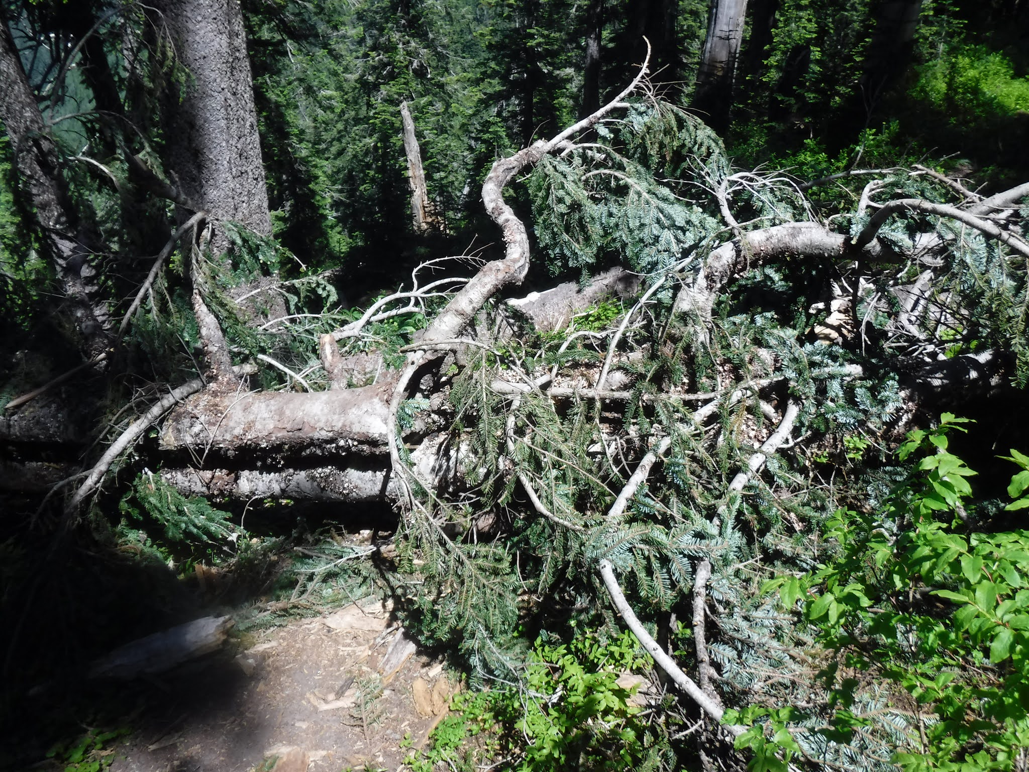
We passed a section that had all of these silver maple leaves all over the ground. We decided the snows must have come before they could totally decompose, whatever the reason it was something to see.


Large mushrooms  and Bunch-berry plants were plentiful along the trail also

Our faithful sign❤

This old logging stump brought many logging facts and stories from my husband during this section. I enjoyed listening to his tales. He was a logger for a short time in his youth. Apparently this logging was a more modern one as there were no springboard notches on it. If you're curious about early logging verbiage I found THIS great article complete with photos! 

We passed many Coral-root Orchids.

Water filling break

Frog on the trail!

Huge Ant hill

Lunch break with a squirrel 

Out of the forest and back into the land of views! I love the high country❤

As we made our way up the ridge we heard a roar of noise and we looked up to see two military jets flying VERY LOW over our heads VERY CLOSE together. WOW!!! Crazy timing but what a thrill. I'm sure they could see my eyeballs popping out of my head they were so close. 
YIKES!!!

After that excitement we made our way down the trail once again.

A strange sign to see out in the wilderness, so far away from everything and no we did not see any workers riding on motorcycles.

Another gift a wildflowers mixed in with the ferns beside the trail.

We then came into Bear-grass country. These beautiful light and airy flowers were a sight to see as we made our way back into the forest.


I think my husband and I both agree that we loved seeing the Bear-grass blossoms each time we saw one. We stopped and admired them often.

We knew we should be getting near water soon, so I got out my Guthook app and sure enough we were close. We just had to walk through this old logging/slash burn area and we would be there.

Water! 
Our most prized possession❤

The first thing I would do at camp was to send out our Spot Messenger "check in" message. I had it set up to auto send: "We're O.K. and at tonight's camp." After it would confirm that it had been sent, I would help with the tent set up etc. *Note the trail going up into the forest just beyond me, that would be our starting spot in the morning. Our camp was straight across the trail you can just see it in the distance.

Evening "at camp" routine: We would put up the tent. I would then blow up the sleeping pads and pillows, get out the sleeping bags and clothes bags while my husband cooked the dinner.
Camp was at a spot about a 1/2 mile from where we got water. An old logging road gave us lots of room to spread out and enjoy the evening sun.

Relive video of our route:

Garmin stats: 
total miles - 6.38
total ascent - 1919
total descent - 938 feet

to be continued......

Monday, August 3, 2020

PCT Section i Day five, White pass to Snoqualmie pass

This was the day, our long day with no water on the trail. We woke at 5am to get an early start and to try to beat the heat. Not far from camp we came across a road, we turned left as we didn't spot the cairn showing where the trail was. As it turns out it's clearly in this photo. Wow how did we miss it? Anyway after walking about a tenth of a mile up the road I got out my Guthook app and saw that it was just across the road from where we'd come out of the trail. So back we went to the cairn.


My husband carrying our extra drinking water for the day as there would be no water for 11.8 miles.

A nice good morning peek from Mount Rainier.

Great views for our start.


Wildflowers along the trail.

Road crossing


Heart rock❤

Road crossing (as it turned out we didn't need to worry about how the author of the book talked about the confusing maze of logging roads to get through. The trail was always just across the road, so that worry was all a lot about nothing).

As we hiked through the Blowout mountain section of the trail we saw a lot of these signs posted. Even after four years they are still on the look out for him. Very sad.

I loved all of the PCT trail signs along the way. Although I have to admit they could really use some more in some strategic areas as well as camp site signs.


We stopped at this ridge view spot for lunch. The day was getting very warm and every breeze really did help. We placed our packs carefully so we wouldn't squash any wildflowers or plants and found a place in the shade to sit.

There were some amazing views from the spine ridge.

Spine walking❤

We had a section of the trail with quite a few blow downs to go around or crawl over on this day.

Heart rock❤


A very large bracket fungi or conk.

As you can see the water carrying pouch is now attached to his pack. If its too full it can't be attached because it's too heavy for the zip-lock closure and the water spills out. How do we know this? Yes, it happened to us on another backpacking trip. Anyway we'd had enough refills of our water bottles to allow it to be attached. Much easier for him to be able to use both of his hands for log climbing over and to use his trekking poles.


As you could see in the previous photos we did have a lot of blow downs to navigate on this section. We read in the book that when we began our descent it would be 6 switch backs until water. My husband counted each one aloud as we came to them. It helped for my forward progression. We finally came to this message on the trail❤,  a large arrow and a stick message of H2O!
WATER!! 
After 11.8 hot miles we finally got there. All of my worst fears back on the night of day three were for naught. We navigated the logging roads just fine, and thankfully even though it was a very warm day, most of the trail was in a shaded forest. Again, thank you to my husband for carrying water all the way from Spring camp, we never ran out and had plenty to drink all day.

Just a short hike more and we were at camp. The camp was just off of the Tacoma pass road.

We had a very loud low flying helicopter go over us during the night, kindof unnerving.
So glad we didn't turn around on day four.
We survived the day, a good lesson to me: don't allow the words I hear or read dwell in my brain and let them go to fear and apprehension. Trust that I have the ability and experience to get through, and if not there is always our Spot messenger!

Relive video of our route:

Garmin stats:
total miles - 12.34
total ascent - 1762 feet
total descent - 3100 feet

to be continued......