When I awoke I could still hear the water dripping from the trees onto our tent. I peeked out my tent door to see what color the sky was. Lo and behold we had blue skies. We were so happy to have survived the wind, rain and cold of the night. We didn't sleep much since it was so miserable, but hurray for better weather.
Our Goatsbeard trees in a better light than the night before.
When we got on the trail and saw the first open sunny section we all stood and soaked up the solar warmth. Small but large blessings on the trail. My husband found a little side trail and wanted to check it out. I wasn't too excited about any extra steps as we were looking at going 10 miles that day, but out I went. We did see some nice views and some very short Huckleberries plants.
A few steps down the trail and he saw another side trail that he wanted to explore, so off we went. The Goat rocks in the distance (I think).
A very nice close up of the tree branches with a very blurry photo of Mount Rainier peeking through. My camera focused on the items in front😢
We passed some more ponds.
and went over and around some more fallen trees.
We had just finished talking about a saddle in a tree that I had read about and just a few steps down the trail there it was!
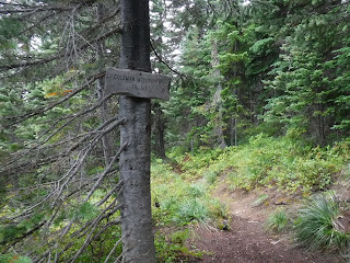
Walupt trail junction.
Time for a lunch break.
Just down the trail from our lunch spot was this awesome waterway. We got our water bottles refilled here.
Another Sound of Music meadow moment, except this time with blue skies and no rain parka!
A heart rock❤
Looking back down at the water where we'd had lunch and refilled our bottles.
On top of the world
Some flowers along the way
Mount Adams ever in the distance❤
This section of the trail had wonderful grassy side slopes and flowers all along it, with views of Nanny ridge.
We were no longer chilly from our long night and we savored our water break times.
A heart rock (a bit lumpy, but I'm still claiming it)❤
What a view!
More flowers and heart rocks near a creek bed.
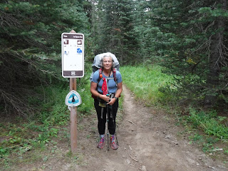
PCT sign
Finally our destination for the night. Sheep lake
It was really busy at the lake, lots of tents around it as we'd managed to arrive there on a Saturday.
This happy face was on one of the sitting logs around the fire ring.
A perfect sized log to lean our packs on and organize our things.
A view of Sheep lake
And yet another lumpy heart rock at our camp.
We got to camp late and I was trying to take advantage of the late evening sun to dry out our ground cover from the night before.
We finally got our camp all set up at dark. We were too tired to read anything this night.
Relive video of our route:
Garmin stats:
total miles hiked - 10.83
total ascent - 1476 feet
total descent - 1217
Elevation profile -
to be continued.....


