
As we were eating dinner Monday night at our Ipsut camp, some deer walked up from the old river bed and made their way through the campground nibbling on the grass. It was a nice, quiet setting for our first night out.
The old ranger cabin is still standing. We talked to some park workers who were working on the building. They said that there is a plan to have a ranger work out of the cabin again. As we were making our way to the trailhead Tuesday morning, I took a picture of the cabin. You can see that they are working on replacing the windows.

Time to make our way to Cataract Valley campground, part of this loop follows the Wonderland trail.


I love all of the different log bridges along the trail, some have hand rails some don't.

My husband crossing the Carbon river on the bridge in the photo below.

We came to a trail junction, we would be going on the lower trail today and at the end of our trip we'll be coming down this hill.

The Carbon river.

This narrow section of the trail was having some erosion issues.

The trail ends at this river crossing because it is too damaged, that is why we need to cross here and then re-cross it at the Suspension bridge to continue our route to Cataract Valley campground. We crossed this river last summer when we hiked the Northern loop trail, you can read about that trip HERE. The river had completely changed course from last year. It is flowing along the opposite bank this year. So as soon as we came down to the river bed it was time to cross the main channel. I was happy to see that the bridge was a nice fat log with a nice hand rail. I marched right across it so I could take a video of my husband crossing it. If you watch the video with your sound turned on you'll hear the river below.
I took a still photo during the video.

After we crossed the bridge we followed cairns to a short water crossing. It was about knee deep for me and had a nice soft sandy bottom. It was actually rather nice to cross.

More cairns to follow.

As we made our way across we could see bridges from seasons past, when the channel was along this bank. If you click on the photo below to enlarge it you'll see several bridges left from the carnage of past flows.

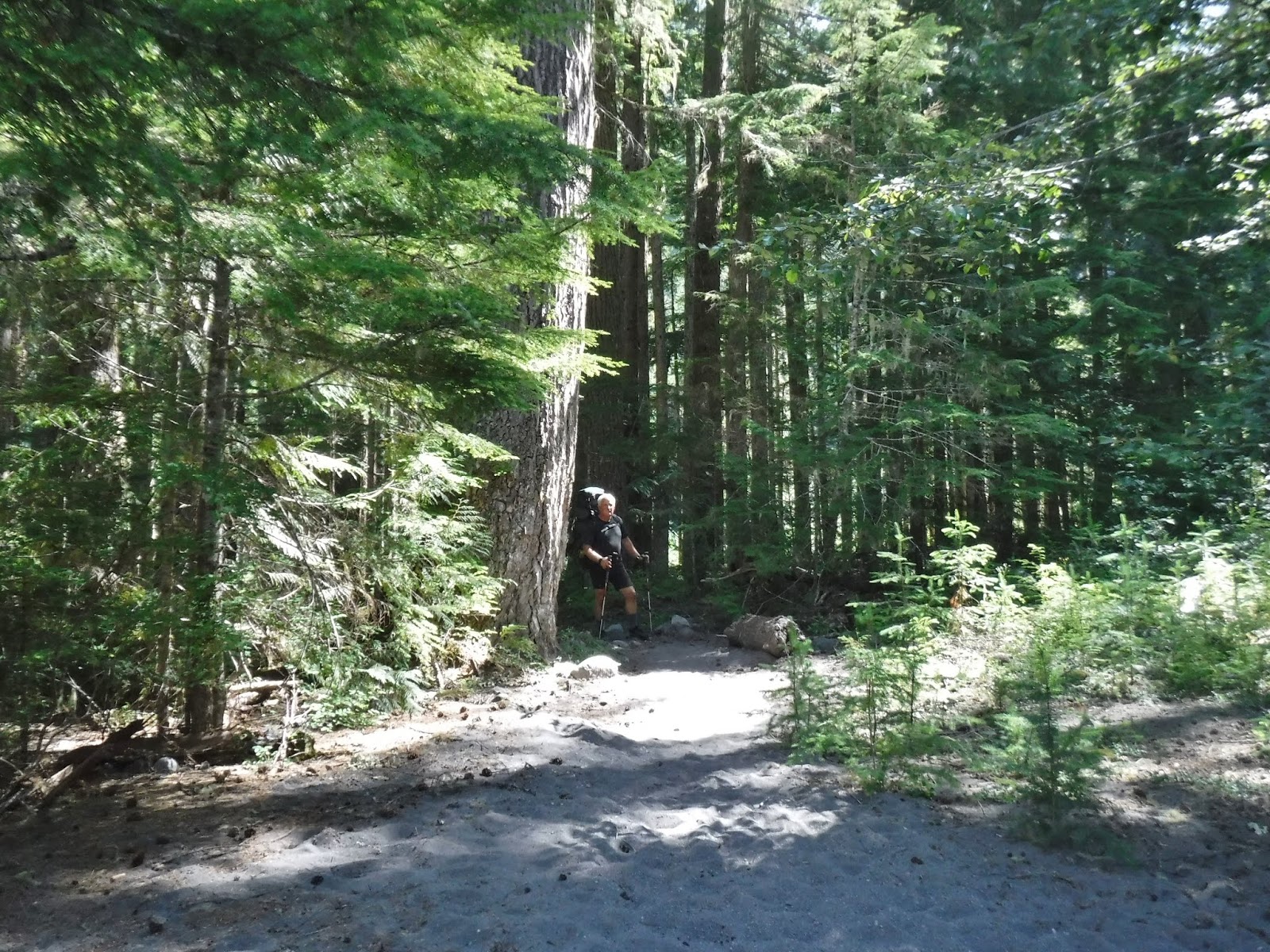
There was a forested section in the river bed. I like this picture of my husband leaning on the tree waiting for me to catch up.
Almost to the other bank of the river. It's a long rocky area to cross, thankfully there are cairns to follow.

One more bridge over a lovely clear stream, then on to the trail.

Our trail would lead us up towards the Carbon glacier. We would need to cross a Suspension bridge to get back across the river again,

Carbon River Suspension bridge.

I went across first so I could take a video of my husband's crossing.
Again if you have your sound turned on you'll be able to hear the breeze and the river below.
A still photo taken during the video,

We stopped for a lunch break before the long trek up to Cataract Valley at this wide bend in the trail junction.

The trail up to Cataract is pretty steep with many high steps framed with wood cut into the incline. Most of these steps are just a wee bit higher than my normal stride, so it's quite the workout with a full pack on my back. The camp sign was a welcome sight.

We had to cross this narrow bridge to get to our campsite and the bathroom trail. I side stepped across it as I didn't trust my balance with my full pack and no hand rail.

We camped at site #6, we had stayed at this site 44 years ago when my husband and I first did the Wonderland trail together. I was glad it was available for us to stay this time. This site has several nice flat rocks that work for a kitchen area and nice logs and rocks around for sitting on. Some sites didn't have these luxuries.

There were "many" mosquitoes in this area, so I got out my mosquito head net and had a quick photo taken to show how lovely I am in it, before I put on some long pants.

These rocks were our camp view, we could see Pika running around on the rocks. I enjoyed listening to them.

These rocks were our camp view, we could see Pika running around on the rocks. I enjoyed listening to them.

This particular site is up and away from the rest of the campground so it is a nice private, quiet place to spend the night.

Relive video of our second day -
Garmin stats:
Miles hiked - 6.68 miles
Ascent - 2254 feet
Descent - 610 feet
Next post Part 3 - Cataract Valley, up and over Seattle and Spray parks to Eagle's Roost campground
No comments:
Post a Comment
Thank you for taking the time to read my blog, I welcome your comments.