
We woke to a chilly morning, it was in the mid 40's during the night. I was warm and cozy in the tent, but I put on my layers for breakfast. After we packed up we decided to head back to Spray falls, we had passed them before we got to camp the previous day.

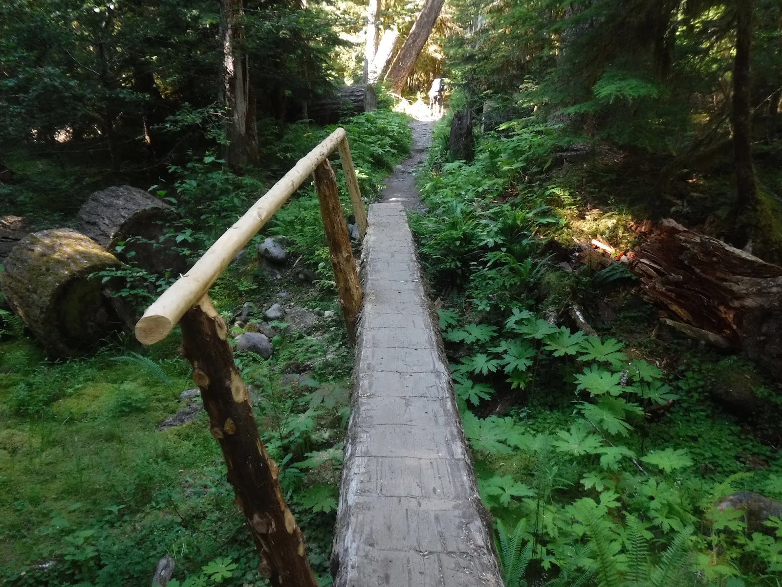
The bridge to Spray falls.

The trail.

The view down from the trail.

After following the trail for a ways we gave up and turned around, it was a bit more steep and rugged at the end of the trail to the falls than we wanted for the start of our day.
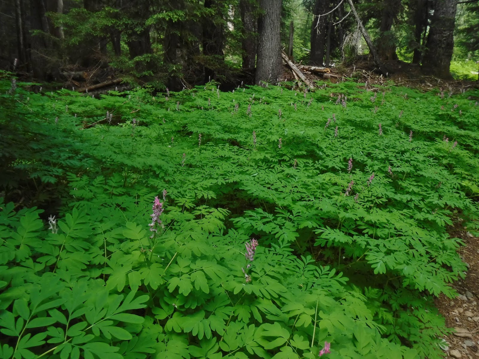
As we came nearer to Mowich lake, we saw more and more wildflowers in bloom. My camera didn't do them justice. They were just beautiful.


The last bridge before Mowich lake.

We got our picture taken at our rest stop at Mowich lake.

The clouds were hanging around the lake as we hiked along it. I did manage to get some pictures of it though.


The trail by Mowich lake goes to Tolmie peak and Ipsut pass. We would be heading down Ipsut pass.


The clouds/fog was pretty dense as we turned to head down the trail.


We took our lunch break on a wide curve in the trail.

The pass was another place where the wildflowers were blooming. There were a few sections where we had to pick our way through large boulders and small creeks flowing on the trail.


Looking down the valley.

The downhill section of Ipsut pass goes on for quite a ways, with it small pebbly surface my feet tend to slide along my way down. Last year when we did the North Loop I landed on my bottom once and I managed to do it again this year. Oh well.

I love when the trail decline gives way to a flatter trail in the valley. It's a lovely corridor with a creek flowing along most of the way to the Ipsut creek campground.

We saw many old tall trees.

We crossed creeks here and there as we made our way.


So many ferns and lush green forest around us. Such an oasis after the tundra environment up on Seattle park.


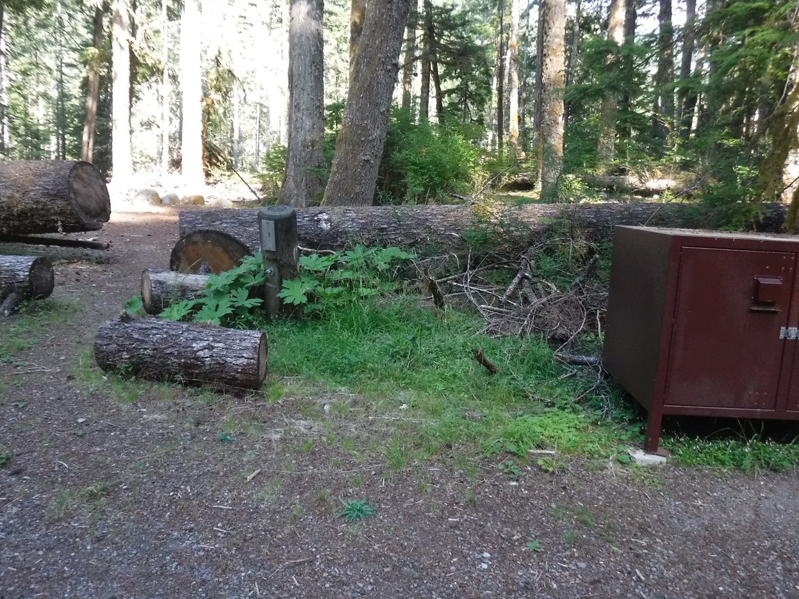
Before we knew it we were back to familiar ground, Ipsut Creek Campground.


Our spot from the first night was taken, so we picked another site.

Our deer from the first night, came visiting again.


Here's the Relive video of our route:
Garmin stats:
Miles hiked - 9.56 miles
Ascent - 869 feet
Descent - 3491 feet
Next post Part 5: Ipsut Creek campground to Carbon River Trailhead
No comments:
Post a Comment
Thank you for taking the time to read my blog, I welcome your comments.