
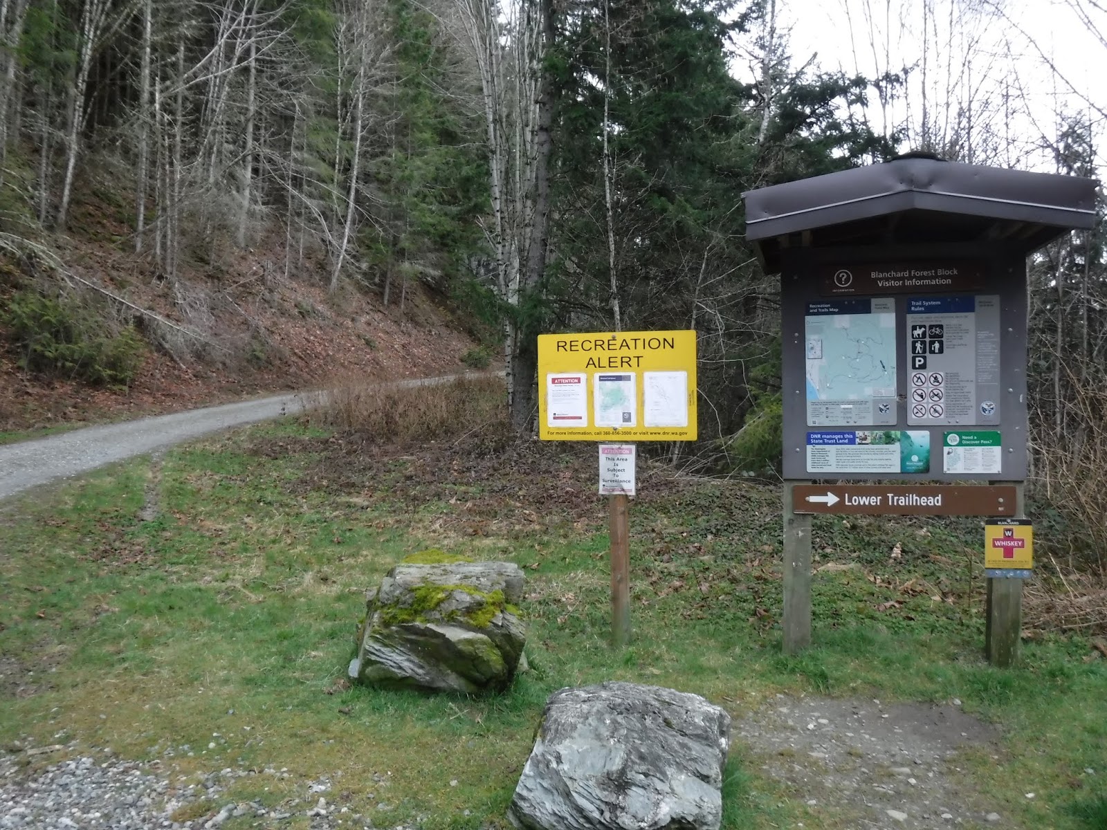
Today's hike was a loop of Blanchard Mtn. We began at the Upper trailhead parking lot and checked out the logging info. sign, we then walked up the logging road for about 3 miles to the British Army trailhead.

The PNT (Pacific Northwest Trail) follows the British Army trail so there were the usual emblems and Blazes painted on the trees.


I love the ones that are painted low on the tree, I spend a lot of my time looking down so it was nice to see that they double marked them. It would be a shame to miss a turn because you didn't see a Blaze on a tree.

For some reason the trail sign is a ways up the trail, but it's there.

Making our way to Lizard lake.

Beautiful forest trail.

The trail comes to the northern end of Lizard lake. The photo below is looking to the south end of Lizard lake. There was a lot of sign of Beaver activity.


A Beaver house in the distance.

A closer look.

We walked along side the lake, part of it still had a bit of ice on it.

More Beaver activity.

A view of Lizard lake looking back to the northern end. We had just finished walking the length of the lake. It was pretty chilly at the lake so I put on my gloves and hat.

Now it was time to hike up to North Butte for a late lunch.

Instead of climbing up the rocks and sitting on the top for our lunch we walked around the rocky top and looked at the view from the more spacious rock "shelf" area.

The breeze was a bit chilly at the larger rock shelf area so my husband wandered around until he found a perfect little moss covered rock area for us to eat our lunch. It was great because the breeze rarely came our direction and we actually felt the sun's warmth on us off and on. We hadn't started our hike until nearly 11, and now it was 2:00. Needless to say I was ready for lunch!
The view was wonderful.
*that bump to the left is Oyster Dome

After lunch we made our way down to Lily lake.

We walked past the campsites as we walked along the lake. Lily lake also had some ice on its surface. I was really cold by the time we got to the end of the lake. So on with the hat, gloves and now my fleece buff to cover my face from the cold.

At the trail junction directing us to the Samish Overlook, I saw that this poor tree had been upended.

The "fancy" bridge. Always a conversation starter for us.

As we made our way down the trail, we were being treated to the sun's warmth. All of my "extra" cold weather clothing came off, as I enjoyed "this" side of the mountain.

The Samish Overlook view. We stopped here for a break and a snack. We only had about a 3 mile mostly downhill hike to the parking lot after this.

To the Larry Reed section of the trail.

I love this photo of my husband hiking in front of me with the sun shining low through the forest. I took this photo at 5:50. So nice to be hiking later and it's still light.

One mile to go marker.

I really enjoyed our "loop" hike of Blanchard mountain. The only area that we really saw any other hikers was the upper Oyster Dome trail section before we turned off to the Samish Overlook. It was nice to start and finish alone in the quiet of the forest, just the two of us.
Garmin stats:
total miles hiked - 12.14
total ascent - 2251
Nice hike! You got much more sun than we did, as it only started to come out from behind the clouds around the time we finished. We're doing this hike next week, I think, but not such a long version.
ReplyDeleteYes, the second half of the hike was much more pleasant. Enjoy the trail next week❤️
Delete