Thursday, April 9, 2015

Spartan Training day

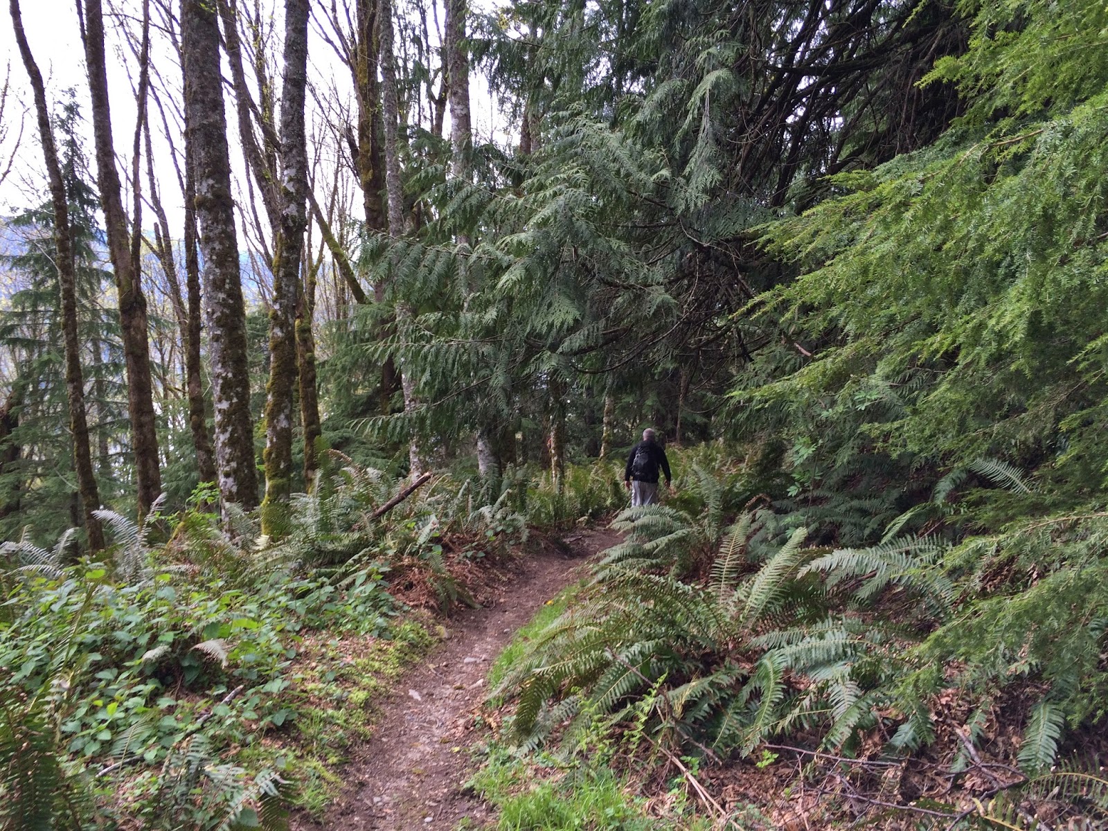
Today is normally the day of the week that I hike with the Senior Trailblazers.They were scheduled to go to Skagit county and walk on the Padilla Bay shore trail and as much as I love that trail, the walk was rated as easy and 5 miles. I have been there many times & since I'm training for my Spartan Race in Montana in May, I need to be going farther and with more hills. I chose the Stimpson Reserve trail, and yes I've been here many times as well but it has enough rolling hills to make it a better work out for me today. It is glorious here today, with the next few days looking pretty wet, so this was my best day for a trail run this week. 

Me in my running garb
I decided to do the trail including the Geneva pond loop twice. I ran a half mile and then took a 1 minute walk, and repeated this for the entire run. I've set my endomondo app to tell me every 1/2 mile, so all I had to do was listen and then take my 1 minute walk.


Geneva Pond


A lovely day on the trail "twice"!

After the run - happy me!
Endomondo stats:
Total miles ran - 8.57 miles
Minimum altitude - 510 feet
Maximum altitude - 823 feet
Total ascent - 655 feet
Total descent - 644 feet

THEN......
it was time to do some of the daily exercises, called "Workout of the day" or WOD
I get the WOD in an  email every day. I do the emailed exercises a day after the Spartan workout day because it works out better with my schedule. So I really was doing Wednesdays workout today. I skipped a couple on today's list because I did a long, hilly run, but this is what I did today when I got home:

5 minutes - jumping Jacks
10 star jumps
5 double butt kicks
1 minute arm circles
30 push up BURPEES
15 pull ups
15 box jumps
15 squats
10 crunches
30 mtn. climbers

and that's my day ;-)

AROOO!

Sunday, April 5, 2015

Cub/Smith Creek hike

We chose Cub Creek (also known as Smith creek) for our long weekend hike. I'm not sure how it became known as Cub creek, but that is what our Trailblazer group calls it. We started at the North Lake Whatcom trailhead. We picked Cub/Smith Creek because it is "up and down" ;-) and we wanted to hike a long way.
The trail winds in and out of forests and crosses logging roads. It also travels along a power line area. We saw more mountain bikers today than we did hikers.

Horsetails
Trillium
 We took a little detour from the main trail and enjoyed a nice view of Lake Whatcom.


Time to head back to the main trail.


The picture below is looking back from where we'd already walked. When I hiked this trail with the Senior Trailblazers in January, our destination was the lower knob (between the two forested sections in the photo below) and directly below the power lines. a distance of about 3 miles. We stopped there for lunch on that hike before returning to our cars. You can read about that day's hike HERE.


Today my husband and I passed the knob and continued on up the logging road. I have never hiked any farther on this particular hike and I was anxious to see just what was beyond the bend. My husband had tromped all over this area several years ago and he had just the spot picked out for us to eat lunch. We continued on until we had gone a little over 5 miles. We found a road that turned to the east and gave us the best view of Mt. Baker and the Twin Sisters. This was to be our lunch view.
If you click on the photo below you will see Mt. Baker on the left and the Twin Sisters on the right a little more clearly.


I was more than ready to eat. 


After lunch we hiked back down the road for a ways and then walked cross country a little as we made our way under the power lines, before we got back on the trail.
I really enjoyed this hike, and I was glad that we went a little farther "up" the hill.

Time to head back down the trail
Another great weekend trek. I hope you and yours had a wonderful day, we sure did!


Endomondo stats:
Total miles hiked - 11 miles
Minimum altitude - 352 feet
Maximum altitude - 2575 feet
 Total ascent - 2215 feet
Total descent - 2210 feet