
During our night at Lake Ann, we heard boots walk by and saw the lights from headlamps leading their way so we knew climbers had gone out while we were tucked away in our sleeping bags.
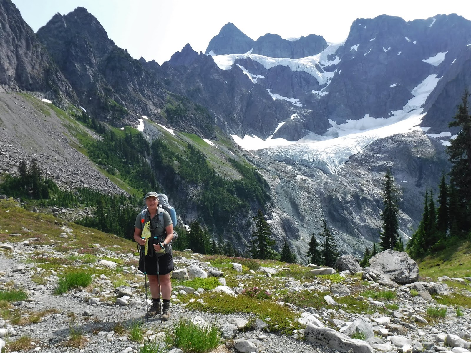
We woke to this view.

We leisurely ate our breakfast and packed up our tent. We weren't in a hurry to leave this beautiful area. I stared hard at the mountain with our binoculars hoping to see some climbers. I finally found two heading up the last snow field just below the summit (the pyramid looking peak above the highest glacier). We stopped by for another photo op before we left.
Goodbye Lake Ann, thank you for the wonderful time in your beauteous area.

Just after I had gone a few steps below the saddle I looked down and saw this large heart rock. Yes, my heart was full.

The upper section of the trail has many of these great rocks in the photo below, I called them topo rocks as they looked like they had topographic map detail on them.

A look a where we'd come from on our first day.

Mount Baker surrounded by clouds.

Back to the green vegetation and flowers in the lower section of the trail.


Fun little stone steps and flowers along the path.


Another lunch break by the lower creek. I put my hat on this post on purpose, because it's a new hat. On the way up the highway, I turned to my husband and said oh no, I forgot my hat. So we stopped at the store in Maple Falls and purchased this Hwy 542 hat. This sign post points to hwy 542, a fitting place for a photo of my new hat don't you think?! *When we stopped the car to begin our hike, guess what I found clipped to my pack. Yes, my hat. Oh well, I hiked with my new hat, because a girl can't have to many hiking hats can she😉.


After lunch we made our way through the last rock section of the trail. The rest of the trail leads up to the highway.


The view of where we'd come from just that morning.

We crossed the highway and made our way down the rest of the Wild Goose trail.

One last sentimental look at where our journey began.
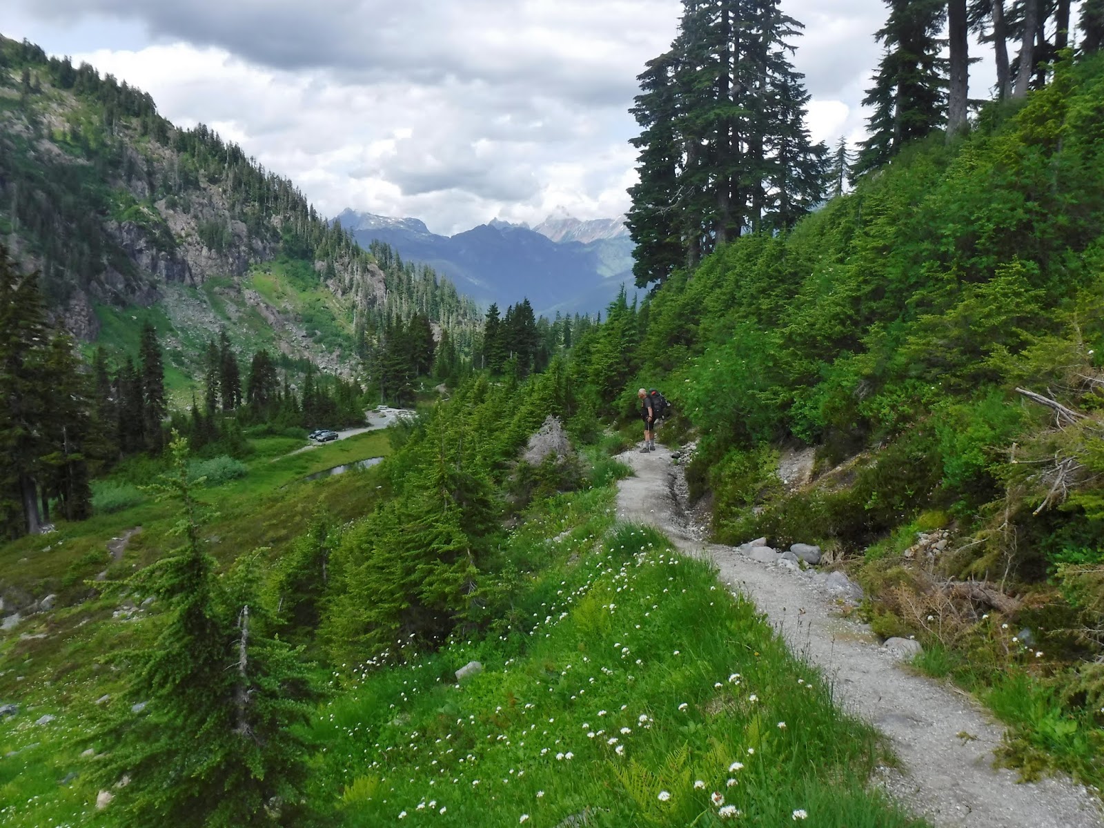
Table Mountain above the old Slush Cup"" pond.

A great 3 day backpacking trip. The weather held for us, not too hot and not too cold. We had a healthy dose of mosquitoes at our camps, but what's camping without mosquitoes - right?!
Garmin stats:
total miles hiked - 5.05
total ascent -1007 feet
total descent - 1345 feet
Trip summary:
total miles hiked - 17.13 miles
total ascent - 4064 feet
total descent - 4117 feet
What a great adventure. I enjoyed every single picture for every single day and love the fact that you had such a wonderful time. Although my backpacking days are behind me, I can still enjoy other people's trips. :-)
ReplyDeleteI’m glad you enjoyed all of the pictures. It was so beautiful at every turn❤️
Delete