
This day's hike turned out to be longer than expected because we missed our trail to the camp we wanted to stay at, so 3 1/2 miles later we finally made camp.
Ready to start, armed with my head net and mosquito repellent.

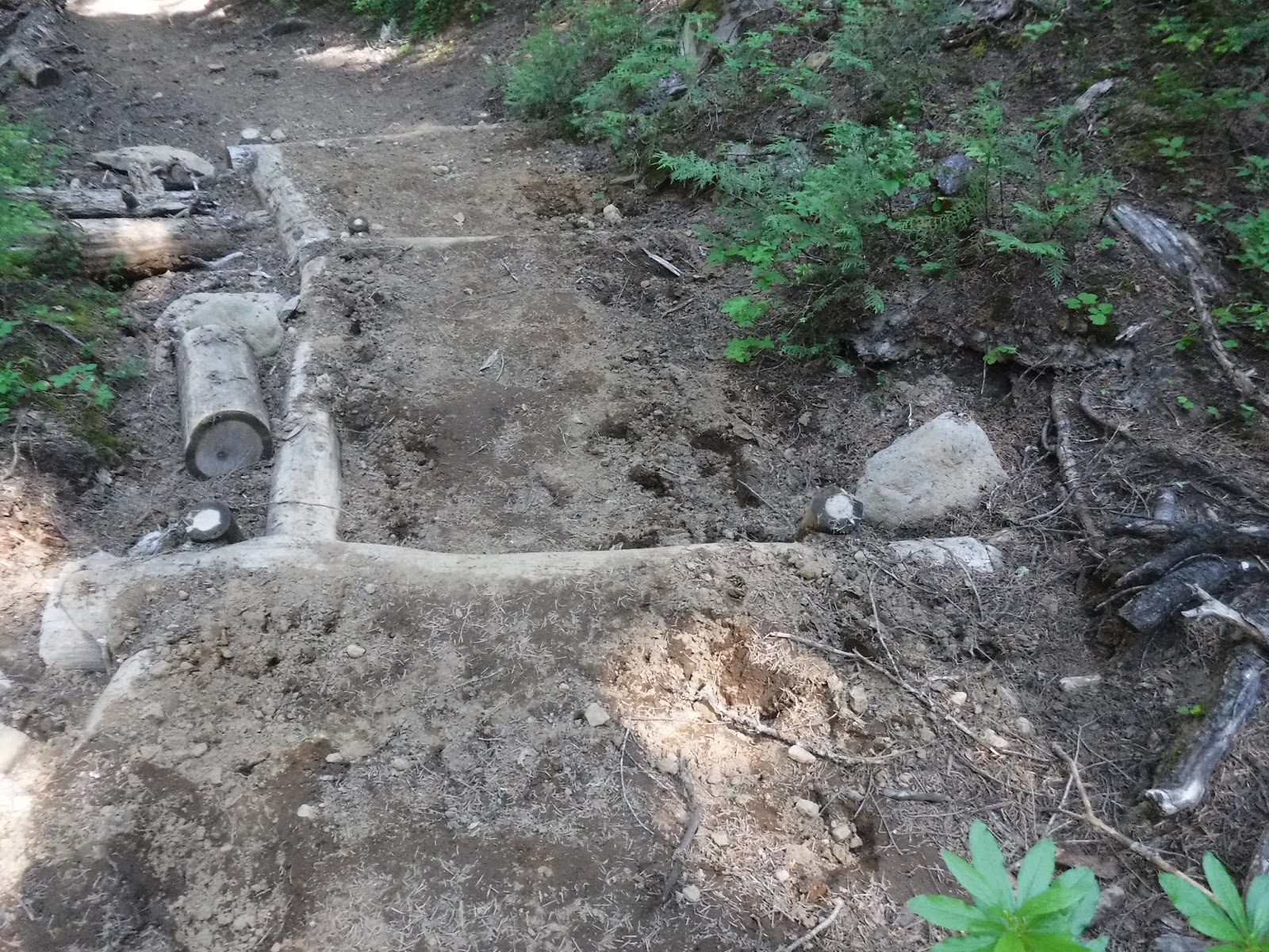
A nice sunlit log to step over to start our morning off right.


A day of meadows and creeks


and of course my favorite - boardwalks!

Note the trekking pole holes on the side of the trail. The tell tell sign of hikers.

We arrived at Bumping river. A nice crossing with just a bit of depth in the middle. I stopped to changed into my Keen sandals for the crossing. My husband just went on across. He put his pack down and came back to tell me where a good spot would be to cross and where NOT to step. Good info.!


I of course forgot to remove my mosquito head net. I realized after I'd crossed that I probable would've been able to see where my feet were just a bit easier without that filter over my eyes.


We stopped at a nice log after our crossing to take off our packs, eat lunch and for me to put back on my socks and boots. It was so hot outside it was nice to walk in the river and let my pants get thoroughly wet to cool be off for the rest of the day's hike. *It didn't take long and they were completely dry.

Fish lake and the meadow, just spectacular❤

Heart rock❤

As we made our way up the trail we took another pack off break, I noticed this as I called it "a fairy crown" on a log.

I of course tried it on, nope not mine. It was a bit too large. They have extra large headed fairies in these woods.

Time to keep going up towards our camp for the night "Crag lake"

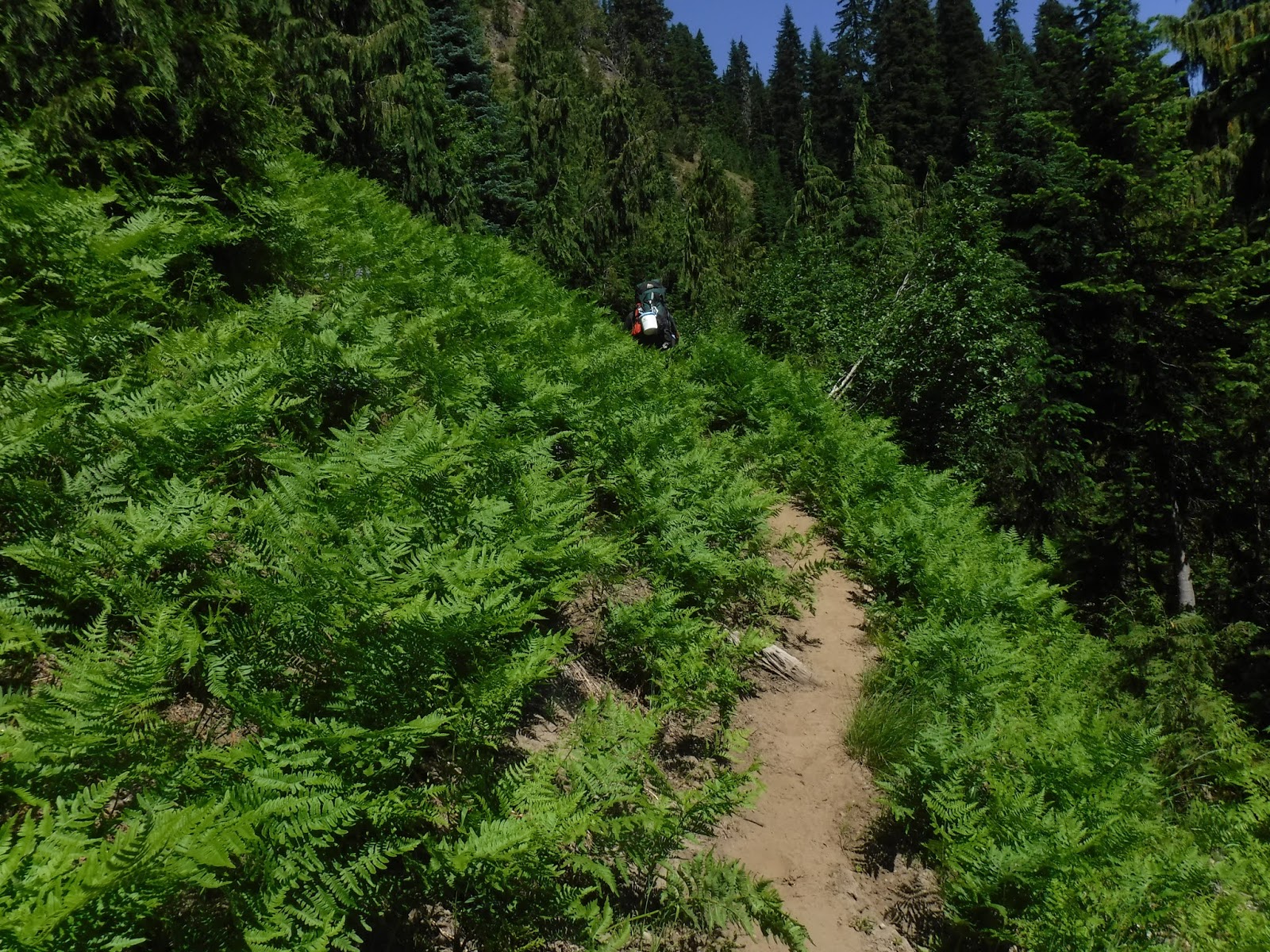
So many ferns!
We came to this large creek to cross, which we found out later that our "trail to camp" spur trail was near this area.

This is where our day's hike would have ended, after taking a spur trail near this creek. It would have been a nice 6 mile or so hiking day. We somehow didn't see the trail, but after walking quite a distance we did spy a very nice looking camp down a hill and to our left. I got out my Guthook app sure enough this was our camp but there was no access trail down the steep embankment to get there. It was either turn around and try to find the trail or just press on. We decided to just press on.

What do you see in this photo?

My husband had spotted this frog sitting in a hole on a side bank along the trail. It patiently posed for it's photo, then made it's way deeper into the hole.

Snow near the trail.

Climbing ever climbing. We saw a person coming towards and realized that it was the same thru-hiking fellow we'd seen on the Chinook to Snoqualmie section in the Cedar River watershed area. We visited awhile, then as he was leaving us he said the views of Rainier are awesome ahead. We were excited to hear this, so on we marched upward.

If you click on the photo below to enlarge it, you'll see Mount Adams faintly in the haze.

He was right, a great view of Mount Rainier at the top of the ridge.

Photo op!
After hiking uphill for four miles this was a welcome spot. We took our packs off and enjoyed the view.


Another nice long boardwalk.

Now we were really in the "high" country. I loved it, I wished we could hike through these areas more often.


Time to start looking for a site for the night.

"One lake" down below. Yes that's its' name. The trail to it looked too far and too steep so on we went.

Just a bit of snow on and near the trail but not bad at all.

Two lake was a bit farther. We spied a spot that could hold one tent, it was a bit sloped. After really looking at it we decided to walk back a few steps to where we'd crossed a creek, fill up and look for the Two lake trail.

Hoodspur Violets?

My husband marching forward with our water❤

High country wildflowers

We decided not to take the steep downhill trail to Two lake but chose a site that was just beyond the trail junction and right off the trail.
Perfect!
As I was getting our things set up for the night inside the tent and away from the mosquitoes, I spied this view of my husband out "with" the mosquitoes preparing dinner.
My hero❤

The day was longer and the hike was farther than planned and yes we were tired, but was it worth it?
Definitely YES!!

Relive video of our route:
Garmin stats:
total miles - 9.76
total ascent - 1821 feet
total descent - 1148 feet
to be continued.....
No comments:
Post a Comment
Thank you for taking the time to read my blog, I welcome your comments.