
Today's journey would take us southbound over the Knife edge, be prepared there are a lot of photos in this post!
I woke in our meadow camp full of anticipation for the day ahead.

Up we go

Heart rock❤

Looking towards Old Snowy in the distance, it's the second peak over (from the right) in the photo below.

Ever marching

Heart rock❤

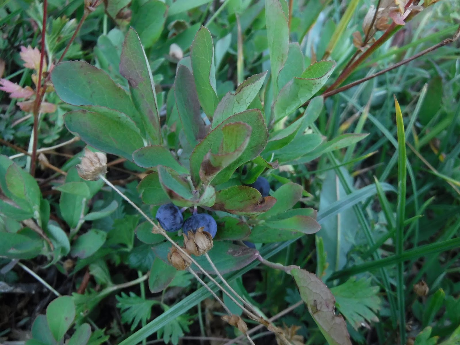
Blueberries
Working our way up through a nice ravine with a waterfall in the center of it.


Heart rock❤

All the wildflowers in the creek bed area, wish I could bottle up the scent!


Time to refill the water bottles and one of the water bladders. He carried the 80 ounce bladder besides his two water bottles for the next section as there is no water on the Knife edge. It was a very hot day for uphill hiking. All of us were also carrying full water bottles for this next section.

A smoke haze view of Mount Rainier.

Heart rock❤

Looking into the distance to where we would be going, around the ridge of the snowfield to the right in the photo below.

An Indian paintbrush splash of color against a rock.

Lupine fields, again I wish I could bottle up the scent.

A nice place for a rest stop.

Beginning our turn around the ridge.

Another rest break.

Coyote junction and the start of the Knife edge trail.
As you can see I'm really covered up with clothes, they all breathe really well. I wanted to be covered up since we'd be in the full sun all day.

Looking back to where we'd come from, as you can see there was quite a bit of smoke in the air below us.

The trail before us.


I love Spine walking, especially in high country❤

Looking back at the trail we'd come from.

Old Snowy in the distance.


Alpine flowers

A nice place for a rest stop

Mountain goats

Making progress on our upward climb.

The Goats had moved to lay in the snow.

Then they were back to the scree

We were now at the Old Snowy trail junction. We turned towards the Packwood Glacier.


Rocky trail towards the snowy patches.

The photo below shows the snow field in the distance with the slight lip on the top, that's what is left of the Packwood Glacier. The trail went above it.

We crossed a couple of short snow fields. The sun made it soft enough for "kick step" steps, no micro spikes required.

The trail above the glacier.

The Knife edge completed!
The sign junction is for the alternate route to Old Snowy.


A photo op with Mount Rainier in the distance.

A very large cairn and Rainier barely visible in the haze.

The last snow field before heading down the Snowgrass flats.

If you click on the photo below to enlarge it, you'll see Goat lake nestled in the hill side.

Making our way down to Snowgrass flats.

Heart rock❤

A hazy view of Mount Adams

The Snowgrass flats junction. You can read about our last trip's exit at this junction HERE.

To complete this section after our last trip we needed to sleep at the same camp site we had ended at. Hurray! Even though it was Labor day weekend and Snowgrass flats was full of tents, our site was still available. Our section was now complete from FS road 23 to White pass!
The weary but exultant hikers resting at camp.

My husband and I exchanged hats at Snowgrass flats, I think his fits me better than mine fits him😉

Tents set up. Since there was so much smoke in the air Mount Adams was barely visible and Mount Saint Helens was even harder to see.

Snowgrass flats sunset❤

Relive video of our route:
* if you've never clicked on my youtube "relive" videos in this blog, I'd highly recommend clicking on this one. It really shows our route on the spine aka the Knife edge.
Garmin stats:
total miles - 5.9
total ascent - 2211 feet
total descent - 1509
Elevation profile:

Elevation profile:

to be continued......
No comments:
Post a Comment
Thank you for taking the time to read my blog, I welcome your comments.